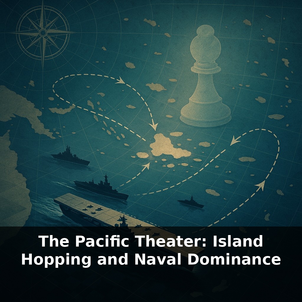
A war spread across an ocean that covers nearly half the planet was partly decided by the strategic restraint in choosing battles. Join us as we explore those pivotal choices and the commanders who altered the course of history by opting to conquer the ocean’s vastness rather than every island dotting its expanse.
The Pacific campaign forced Allied planners to treat the ocean less like empty space and more like a shifting, three‑dimensional chessboard. But instead of capturing every square, they learned to let some pieces sit, trapped and useless, while they quietly rearranged the rest of the board. Here, distance itself was an enemy: more than 5,000 nautical miles separated U.S. shipyards from Tokyo, and every extra mile magnified problems of fuel, food, and fatigue. That’s where two intertwined ideas reshaped the war’s trajectory. First, navies no longer lived or died by battleships alone; fast carrier groups could strike hundreds of miles away and then vanish over the horizon. Second, islands became tools less for glory and flags, and more for concrete functions: refueling points, airfields, submarine bases, and radar posts that stitched a distant homeland to a far‑off front.
Instead of chasing every Japanese outpost, Allied planners mapped the Pacific like a web of supply lines, fuel ranges, and bomber arcs. Some islands mattered not for who held them today, but for how far aircraft could fly from them tomorrow. The question quietly shifted from “Where is the enemy strongest?” to “Which node, if cut, makes the rest wither on its own?” Radar plots, reconnaissance photos, and submarine reports turned scattered atolls into data points, revealing which garrisons were truly dangerous and which could be left to fade, like storms that spin themselves out once the warm water beneath them cools.
Carrier decks, not capital‑ship gun turrets, became the real currency of power. That shift shows up starkly in production numbers: while Japan struggled to add a handful of big carriers, U.S. yards launched Essex‑class ships in almost assembly‑line fashion. Each new flight deck meant another mobile airfield that could appear off a shoreline, unleash hundreds of sorties, and then steam away before a counterblow arrived. With dozens of such platforms in play by 1945, American planners could concentrate striking power in one sector, then redeploy it weeks later thousands of miles across the ocean, forcing Japan to defend everywhere at once and succeed nowhere decisively.
But steel hulls alone didn’t win the distances involved. Under the surface, a smaller, quieter campaign was cutting Japan’s legs out from under it. U.S. submarines were initially a sideshow; by the later war years they had become economic stranglers, hunting tankers and transports instead of prestige warships. Attack by attack, they drained Japan’s fuel, food, and ore, until factories slowed and garrisons starved. The fact that around 70 percent of Japanese troops on scattered islands ended up cut off wasn’t an accident; it was the cumulative result of thousands of torpedoes turning sea lanes into dead ends.
This is where selective advances paid off. When Allied forces seized islands that could host bombers and submarines, they weren’t just gaining ground—they were shortening the noose. Places once deemed impregnable, like Truk, found themselves bypassed, their airfields cratered from afar and their resupply ships sunk before they could arrive. Japanese commanders still had soldiers, guns, and bunkers in such strongholds; what they lacked was any way to translate those assets into meaningful influence on the broader war.
As American forces moved closer to Japan, the character of fighting changed. Operations at Iwo Jima and Okinawa showed both the success and the human cost of this approach: airfields close enough for sustained raids on the home islands, won only after grinding, casualty‑heavy battles that signaled how catastrophic a full invasion might be—for attacker and defender alike.
Campaign planners learned to think less about individual battles and more about chains of effects. Capturing the Marianas, for instance, wasn’t about flags on Saipan or Guam; it was about creating a launch point for B‑29s that could sustain pressure on Japan’s industry. Securing Ulithi Atoll turned a remote lagoon into a floating logistics hub where fleets could refuel, repair, and sail out again within days—compressing time as much as distance. Even modest outposts, once equipped with radar and a few long‑range patrol aircraft, could quietly reshape the odds by spotting convoys early enough for submarines or carrier groups to intercept.
Island selection also reflected political and inter‑service bargaining. The U.S. Navy’s Central Pacific drive and the Army’s Southwest Pacific push under MacArthur sometimes competed for resources, so chosen objectives had to satisfy strategic logic and alliance politics at once. In that sense, island chains formed not just a military pathway, but a negotiated corridor through which rival priorities were forced into alignment.
Rising seas, denser cities, and tighter tech chokepoints mean tomorrow’s contests may pivot on who can scatter assets widely yet still act in chorus. The Pacific becomes less a chessboard of fronts and more a shifting weather system of sensors, drones, and fiber lines. States, navies, and even aid agencies will need to treat remote reefs and cables like storm gauges—small, exposed points whose status quietly forecasts whether crises will drift toward escalation or relief.
In that sense, the Pacific map doubles as a quiet warning label for our own networks. Fiber routes, chip foundries, and rare‑earth ports now play the role once filled by remote atolls, each a pressure point where disruption can echo outward like ripples from a dropped stone, turning far‑off “nowhere” places into the hinges of global stability.
Start with this tiny habit: When you open a map app or glance at a globe, zoom in on the Pacific and pick one island from the WWII island-hopping campaign—like Guadalcanal, Tarawa, or Iwo Jima—and say its name out loud. Then, quickly picture which side controlled it first and who fought to take it (U.S. or Japan). If you’ve got 30 extra seconds, tap “search nearby” and notice what’s there today—airfields, ports, or towns—so you can connect the battle to the modern place. Do this once a day, and you’ll quietly build a mental map of the Pacific Theater without feeling like you’re “studying.”