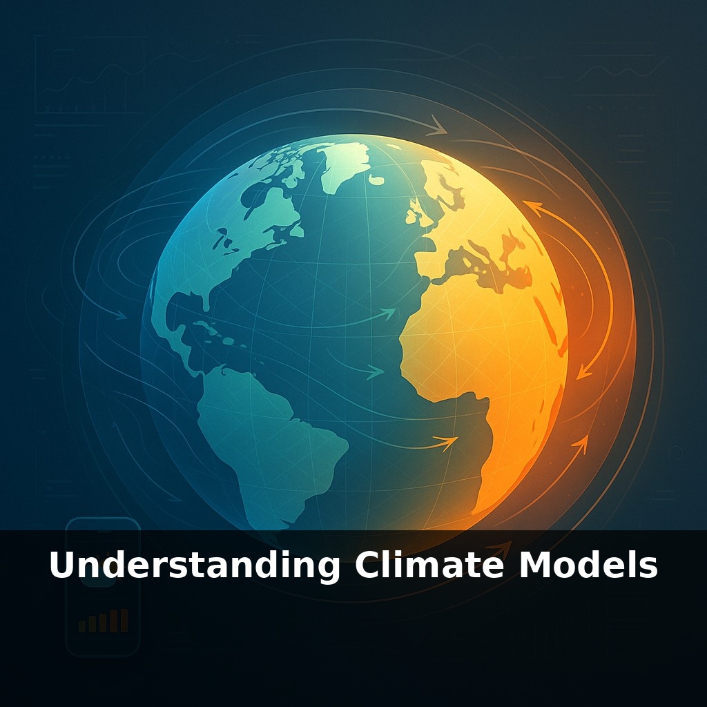
The weather forecast you check on your phone only looks a few days ahead—yet scientists routinely explore climates centuries from now. Despite our inability to predict next weekend’s rain, scientists possess tools that sketch the Earth's climate far into the future with surprising accuracy.
Here’s the twist: to explore those distant futures, scientists don’t have a spare Earth to experiment on. Instead, they build one—mathematically. Modern climate models take what we know about how air, water, ice, and living things behave, and encode those rules into lines of code that run on some of the world’s largest supercomputers. The planet is sliced into millions of 3D boxes—stacked from the deep ocean to the upper atmosphere—and the model keeps track of how heat, moisture, winds, and currents move between them, step by step. Change the input—more CO₂, fewer forests, a huge volcanic eruption—and you can watch how the whole system responds over decades to centuries, revealing patterns and risks we’d never see from observations alone.
But there’s a catch: no model can track every droplet, dust grain, or leaf. Each tiny process—cloud droplets forming, plants breathing, sea ice cracking—has to be represented in a simplified way inside each grid box. Those “sub‑grid” choices really matter; tweak how reflective a cloud layer is, and you nudge global temperatures over decades. To keep themselves honest, scientists constantly pit models against reality: past temperature records, satellite data, volcanic cooling events, even the seasonal breathing of CO₂. When models fail, they’re not discarded; they’re debugged, rebuilt, and tested again.
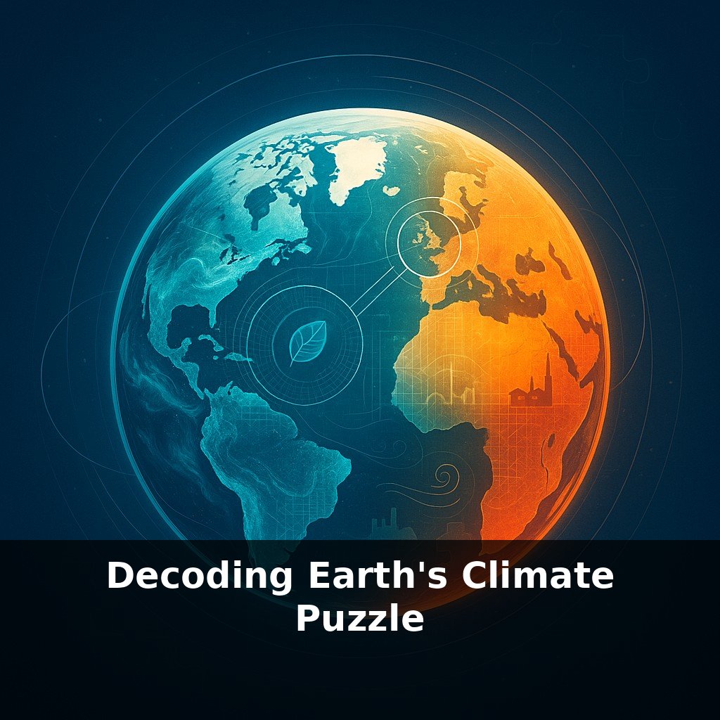
If you zoom in on today’s cutting‑edge models, you’ll find two big families working together. General Circulation Models focus on the physical engine: how air and water move, mix, and transport energy. Earth System Models take that core and bolt on more of the living, reacting planet—carbon cycles, vegetation, even some human emissions and land‑use changes. That extra complexity isn’t decoration; it changes the answers. A forest that dries and burns doesn’t just disappear from a map—it releases stored carbon, darkens the surface, and alters local clouds, all of which feed back into temperature and rainfall.
To keep things manageable, models advance in small jumps. Every few simulated minutes, the atmosphere is updated; every hour or two, the ocean catches up. Between those ticks, thousands of processes are computed: how much sunlight is absorbed or reflected, how much infrared heat escapes to space, where water condenses into clouds or falls as rain. High‑resolution experiments now push grid cells down toward a kilometer or less, letting individual storm systems and complex coastlines emerge with far sharper detail than the smeared‑out blobs of older generations.
Crucially, these models are not free‑form guesses. Their behavior is pinned down by well‑tested relationships: how much water vapor air can hold at a given temperature, how radiation interacts with greenhouse gases, how pressure differences drive winds. When scientists talk about equilibrium climate sensitivity—the long‑term warming from doubling CO₂—they lean heavily on model ensembles, but they also cross‑check against paleoclimate data and satellite measurements. The likely 2.5–4 °C range arises where multiple lines of evidence overlap.
Validation goes beyond matching a smooth temperature curve. After the 1991 eruption of Mt. Pinatubo, aerosols spread through the stratosphere and dimmed incoming sunlight. Models that had never “seen” this event in training were asked to simulate it. Their projected ~0.5 °C global cooling, and gradual rebound, lined up closely with observations, building confidence that they capture key cause‑and‑effect links.
A climate model is like a carefully layered painting: broad strokes for global patterns, fine brushes for storms and ecosystems. Each new layer—cloud microphysics, ice‑sheet flow, ocean eddies—adds realism, but only if it survives relentless comparison with the real world.
To see how this plays out, look at a concrete case: when researchers studied the 21st‑century response to doubling CO₂, they didn’t just run one model once. They used the CMIP6 ensemble—over a hundred model versions—to create a spread of futures. Some runs produced hotter, drier tropics; others shifted rain belts poleward. That spread isn’t a bug, it’s a map of uncertainty: where many models agree, confidence rises; where they diverge, scientists dig into why. Are clouds behaving differently? Is the ocean taking up more heat in one model than another?
You can also zoom into regional questions. European heatwaves, for instance, are probed by nesting fine‑scale models inside coarser global ones so that mountains, coastlines, and cities pop into sharper focus. Urban planners then use those tailored projections, not global averages, to stress‑test building codes, cooling demand, and green‑space plans under a range of warming levels. Step by step, global simulations cascade down into very local, very human decisions.
Cities, farmers, and insurers are already treating model output as a kind of climate rehearsal stage, testing how crops, drainage systems, or coastal defenses hold up under different futures. As digital and physical worlds mesh, “twin Earths” will let regions tweak policies—like phasing out coal or restoring wetlands—and watch knock‑on effects ripple through water, energy, and food. Your challenge this week: find one local plan that cites climate projections and see how it shapes real choices.
As these simulations sharpen, they won’t hand us a fixed script so much as a branching storyboard. Each pathway—rapid cuts, delay, restoration—sketches different futures for rivers, harvests, and coasts. Treat model output less like a verdict and more like a draft score: a guide you can still rearrange by changing how the story—and the warming—unfolds.
Start with this tiny habit: When you open a weather app to check the forecast, say out loud one factor climate models also track—like “ocean temperature,” “cloud cover,” or “CO₂ levels.” Then, tap the hourly or 10-day view and spend 5 seconds noticing how many different variables are shown (like temperature, humidity, wind) and remind yourself climate models track thousands more. If you’re at your computer, take one extra click to open climate.gov or your country’s meteorological site and glance at a single model-based map (like a temperature anomaly map) for just one region you care about. Over time, this tiny pause will make “models” feel less abstract and more like an extension of the forecasts you already use every day.