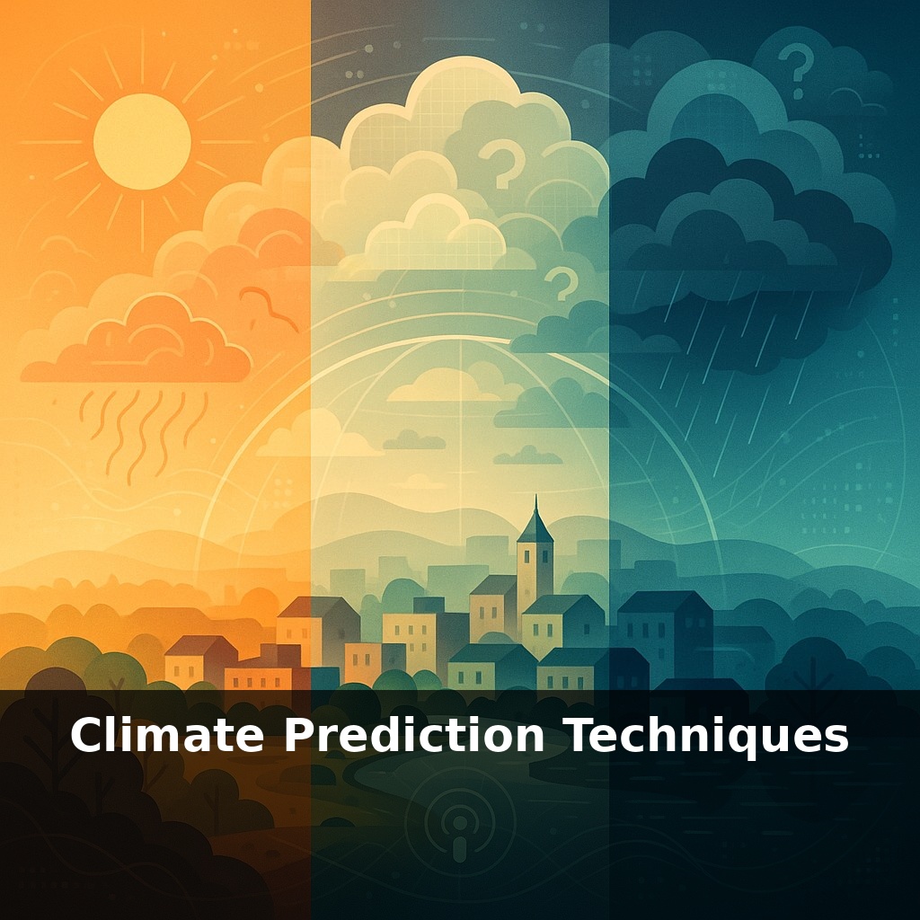
Right now, scientists feed tens of millions of daily measurements into vast climate simulations, yet still argue fiercely over clouds. In one scenario, your hometown bakes in record heat; in another, floods dominate. How do we trust predictions when the future splits like this?
Here’s the twist: even with all that scientific firepower, today’s climate predictions aren’t built as one grand forecast carved in stone—they’re more like a gallery of plausible futures, each painted with slightly different assumptions. Some canvases lean toward rapid emissions cuts, others toward business-as-usual; a few explore wildcards like big volcanic eruptions or unexpected shifts in ocean currents. As models sharpen from coarse world maps to fine-grained neighbourhood detail, they stop speaking only to global averages and start whispering about local extremes: your river, your grid, your harvest. The real question is no longer “Will climate change happen?” but “Which version of the future are we steering toward—and how fast are we turning the wheel?”
Here’s where modern climate science gets both powerful and messy. Instead of one grand model, researchers juggle fleets of Earth System Models, each with its own “accent” in how it represents heat, moisture and chemistry. They blend these with real‑world data—satellite snapshots, ocean buoys, weather stations—swallowing tens of millions of observations a day. The goal isn’t a single perfect forecast but a probability map: which futures are most likely, which are long shots, and where the current observations are nudging us along that branching path.
Seventy years ago, “global climate” lived on grid boxes as wide as small countries; today, model cells are narrowing toward the scale of a big city, and by the 2030s they’ll be closing in on individual storm systems. That leap in sharpness isn’t just cosmetic. Finer grids let models resolve steeper mountains, narrower coastlines and swirling eddies in the oceans—features that funnel heat and moisture in very specific ways. Those details decide whether moisture wrings out as rain over the sea or marches inland to feed a river basin, whether heat domes stall over a region or drift away.
But resolution alone doesn’t buy trust. Every day, systems like ECMWF’s swallow around 90 million observations—radiances from satellites, winds from aircraft, pressure readings from ships and buoys—and weave them into a best‑guess snapshot of the current state of the planet. This process, called data assimilation, is less like simply “plugging in” numbers and more like reconciling a very noisy orchestra: each instrument (dataset) has quirks, biases and gaps, and the algorithm has to decide which sounds to amplify and which to dampen so the overall symphony matches physics as well as measurements.
Once that starting point is set, scientists don’t run just one projection. They launch ensembles: dozens or hundreds of parallel runs with tiny tweaks to initial conditions and alternative plausible settings for uncertain processes. The spread between them is not a sign of failure; it’s the raw material for probability. From those spreads comes the assessment that we’re more likely than not to briefly cross 1.5 °C in at least one year before 2027, and the estimate that, globally, model skill for mean temperature has risen by roughly 30 % from the early 2000s generation of simulations to those used today.
Still, some pieces of the puzzle stubbornly blur the picture. Cloud behavior, in particular, controls how much extra sunlight the planet traps or reflects, and it remains responsible for roughly half the remaining range in long‑term warming estimates. That’s why improving cloud‑resolving techniques and gathering better observations from dedicated satellites and field campaigns are among the highest priorities for the next wave of prediction systems.
A painter planning a vast landscape doesn’t start by guessing the final scene; they sketch small studies under different light, then compare which captures the mood they expect on the finished canvas. Climate scientists do something similar when they test how well different model setups reproduce the past 50 years of regional heatwaves or river flows. If a model consistently underplays past droughts in southern Africa or overdoes monsoon rains in South Asia, that “study” is downgraded when assessing risks for farmers, dam operators or insurers in those regions.
You can see this in practice when city planners ask, “What’s the odds of three extreme rainstorms in a decade?” or when the WMO issues updates on the likelihood of crossing certain temperature thresholds in the next five years. Those answers don’t come from one favoured run, but from carefully weighted ensembles whose past performance in similar conditions has been scored, stress‑tested and, if necessary, penalised before being trusted with decisions.
Building on how models inform today's planners, by the 2030s, planners may browse climate-risk layers the way you zoom through map apps: sliding from global trade routes down to a single subway entrance. Exascale machines and AI could flag which streets become heat traps, which rail lines buckle, which crops thrive in shifting seasons. Policy will then face a new test: when future risks feel as tangible as a weather app alert, do cities redesign themselves—or gamble that the forecast is still negotiable?
As these tools sharpen, their value depends on how we respond, not just what they reveal. Projections can guide choices as ordinary as planting a shade tree or as sweeping as redesigning a port. Your challenge this week: notice one routine in your life that quietly assumes tomorrow’s climate is like today’s—then ask what happens if it isn’t.