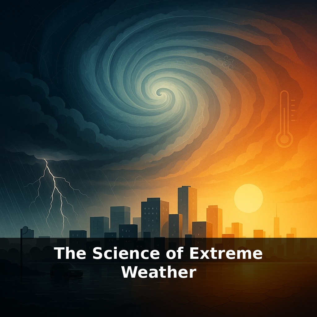
A storm that once seemed “once in a century” is now showing up in a single lifetime. A quiet morning turns to sirens; streets turn to rivers; a heatwave turns night into an oven. The paradox is simple: we haven’t changed the rules of physics—just how often they hit home.
A single hurricane can release more energy in a day than all the world’s power plants over the same time. A heat dome can sit over a region like an invisible lid, turning fields into tinder and cities into brick ovens. These aren’t just dramatic headlines; they’re signals from a system that’s quietly been re-tuned.
In this episode, we zoom in on what “re-tuned” means in practice: how extra ocean heat can turbocharge a storm’s engine, how a slight shift in the jet stream can stall weather in place, and how parched soils can turn a hot day into a record-shattering heatwave. We’ll connect big-picture climate change to the specific fingerprints scientists are finding on real events: the rains of Harvey, the crowded 2020 hurricane season, and the historic Western U.S. megadrought reshaping an entire region’s future.
To follow those fingerprints, we need to zoom out from individual headlines and look at the machinery that connects them. Three pieces matter a lot: how the atmosphere moves heat around, how the oceans store and release that heat, and how the land surface responds. Together they shape whether a storm fizzles or explodes, whether a rainy spell becomes a flood, whether a dry year becomes a decades-long drought. Think of it as a three-part ensemble where each player can amplify the others, turning small nudges—like a slightly warmer sea surface—into outsized, disruptive extremes.
When scientists talk about “extreme weather,” they’re not talking about a new kind of storm so much as old storms behaving in new, statistically odd ways. The core shift is energy: warmer air and oceans quietly change the odds of what the atmosphere can do on its wildest days.
Start with moisture. Thanks to basic thermodynamics, air that’s 1 °C warmer can hold about 7 % more water vapor. That doesn’t guarantee heavier rain every time it storms, but it raises the ceiling on how intense downpours can become when conditions line up. That higher ceiling is exactly what showed up in events like Hurricane Harvey, where attribution studies estimate roughly 15 % of the record-breaking rainfall was linked to human-driven warming. The storm followed the same basic playbook as past hurricanes—only now the air was primed to wring out more water.
Heat is being banked in the oceans as well, especially in the upper layers of the Atlantic where hurricanes feed. Warmer water doesn’t just fuel stronger winds; it can also support rapid intensification, when a storm’s top winds jump by more than 35 mph in 24 hours. Forecasters are now watching more storms “flip a switch” from manageable to major in a day or two, compressing the time coastal communities have to prepare.
On longer timescales, the same extra heat and moisture reshape regional wet–dry patterns. In the Western United States, the 2000–2022 drought wasn’t only about missing precipitation. Higher temperatures meant snowpacks melted earlier and soils lost moisture faster. Even near-average rainfall years couldn’t fully recover the deficits, contributing to the driest 22-year stretch in at least 1,200 years and straining reservoirs, forests, and groundwater.
The atmosphere’s circulation layers onto this. Subtle changes in preferred storm tracks and blocking patterns can park systems in place: slow-moving hurricanes near coastlines, stalled rainbands over one river basin, or persistent high-pressure zones that deflect storms entirely. When a wet or dry pattern stops moving, what might have been a nuisance becomes a disaster.
Your challenge this week: pick one form of extreme in your region—heavy rain, heat, storms, or drought—and trace how it’s changed over time using local data. Check your city’s weather service records, a regional climate center, or a reputable reanalysis tool. Look specifically for shifts in *intensity* and *duration*, not just how often events occur. Then connect one piece of science from this episode—extra atmospheric moisture, ocean heat content, or soil moisture loss—to the trend you see. Treat it like a small research project: one extreme, one dataset, one mechanism.
Think of three different extremes as three different “artists” reshaping the same landscape. A slow, soaking deluge carves wider river channels and pushes planners to raise bridge decks. A cluster of back‑to‑back heat spikes stresses power grids, nudging cities toward reflective roofs, shaded bus stops, and tree‑lined streets. A grinding drought redraws where farms can survive, pushing some crops northward or to higher elevations, much like a migrating treeline chasing cooler air.
One concrete way to see this interplay is in how insurance companies now map risk: flood zones revised not just by past river heights, but by updated projections of multi‑day rainfall; wildfire models that pair dry fuels with hotter, windier days; coastal risk maps where storm‑surge depth is layered over slowly rising seas. Each map is less about a single blockbuster event and more about how clusters of slightly “shifted” days—wetter, hotter, drier—accumulate into new baselines that communities have to design around.
Rising extremes don’t just damage things; they rearrange choices. Coastal towns weigh sea walls against retreat. Inland, rail lines buckle in heat, so operators shift timetables like conductors rewriting a score for a louder orchestra. Health systems test “cooling prescriptions” and heat alert texts. Farmers experiment with drought‑tolerant varieties and new planting dates. Each adaptation is a small bet on what “normal” will mean for the next generation.
We’re still early in reading this new “rulebook” of extremes. As data piles up—from river gauges to satellites—we’re learning which risks can be redesigned, which must be relocated, and which we simply learn to ride out. Like hikers watching the clouds stack over a ridge, the goal isn’t panic; it’s to read the signs in time to choose a safer path.
To go deeper, here are 3 next steps: (1) Open the NOAA Climate.gov and National Weather Service sites and bookmark their “Climate Data Snapshots” and local hazardous weather outlook pages, then check today’s severe weather or heat risk for your area. (2) Watch one of Dr. Marshall Shepherd’s “Weather Geeks” episodes on extreme rainfall or heat waves, then compare what you learn with the IPCC “Sixth Assessment Report – Summary for Policymakers” (freely available online) to see how local extremes tie into global trends. (3) Download a reputable warning app like FEMA’s app or your country’s official meteorological service app, then customize alerts for floods, heat, and storms, and share the setup steps plus one key thing you learned from the podcast with a friend or family member so they’re prepared too.