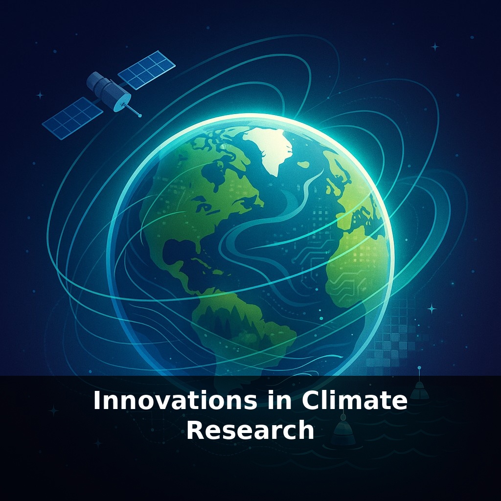
In the unseen corners of our world, satellites paint a daily picture, yet the most dramatic climate shifts are hidden from even their watchful eyes. In this episode, we dive into how hidden data streams are quietly rewriting our understanding of a warming planet.
Satellites aren’t just taking pictures anymore; they’re joining a global conversation with ocean robots, laser altimeters, and AI supermodels that never sleep. One fleet sketches the daily outline of every farm and forest; another listens for faint chemical whispers in the air; deep below, drifting sensors quietly log how much heat the ocean is hiding. Then AI systems sweep through this torrent of numbers, spotting patterns humans would miss and testing “what if” futures in hours instead of weeks. Together, they turn our planet into something closer to a live dashboard than a distant globe. That shift matters: it lets scientists check not only how fast things are changing, but also who’s driving those changes—and whether promised solutions are actually working. In this episode, we’ll explore how these tools are reshaping climate research, from ice sheets to power plants.
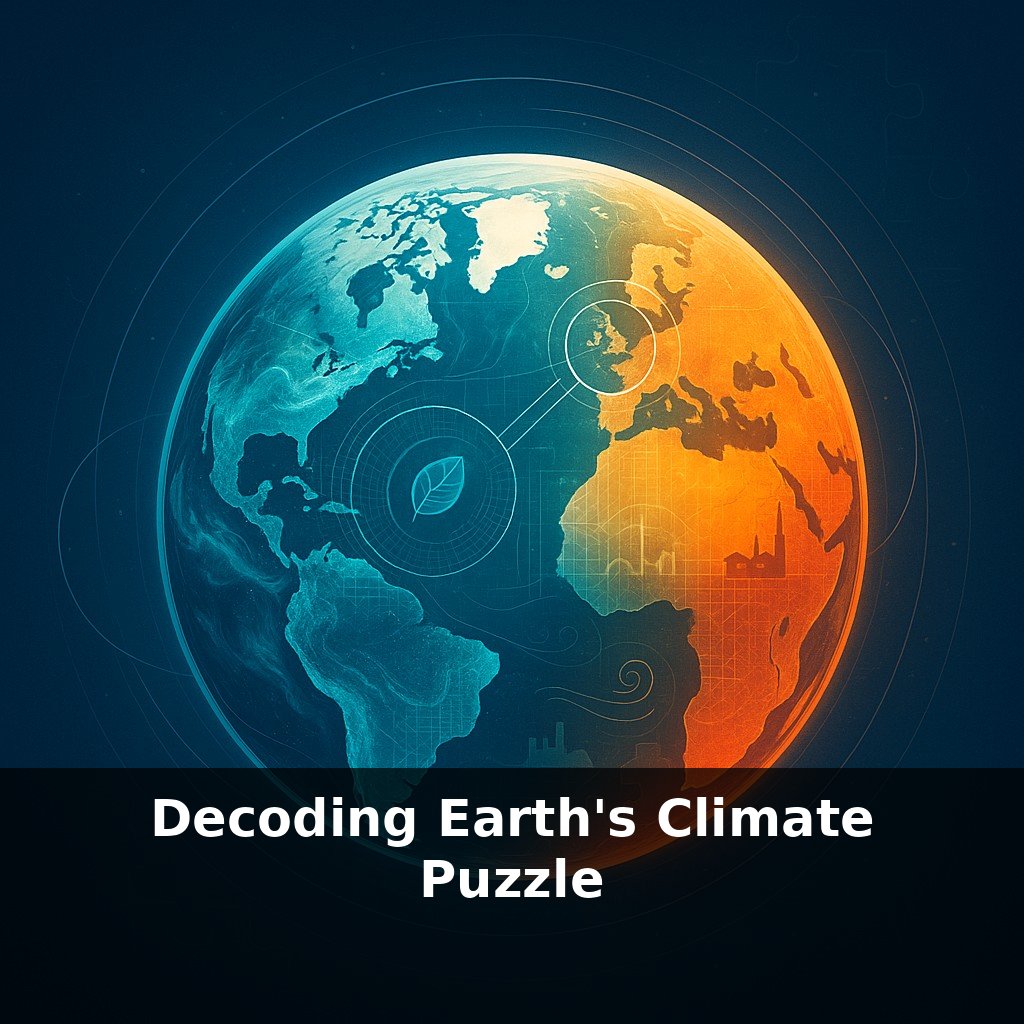
Instead of one grand instrument, climate science now sounds more like an orchestra tuning up in real time. New players keep joining: tiny cubesats from companies like Planet tracking crops and wildfires; drifting Biogeochemical-Argo floats sampling nutrients and oxygen; ground sensors logging city heat and street-level air quality. Open databases turn these streams into public sheet music anyone can read, from researchers to citizen mappers. The tricky part—and the opportunity—is learning how to blend these voices so we can hear not just the melody of change, but the off-key notes of human impact.
A few years ago, you could stare at a patch of rainforest from space and still not know who, exactly, was cutting it down. Now, those daily 3–5 meter snapshots from fleets like Planet’s are being fused with night-time lights, shipping records, even permit databases, to trace a new kind of fingerprint: the supply chains behind the scars. Instead of simply measuring “forest loss,” researchers can link a clearing in one corner of the Amazon to a specific ranch, exporter, or even downstream brand. That turns abstract emissions from “deforestation” into something that can be named, quantified, and—crucially—regulated.
Oceans, once treated as a blurry blue expanse in models, are going through a similar resolution upgrade. As Biogeochemical-Argo pushes toward thousands of active floats, scientists don’t just see where the water is warming; they see where oxygen is vanishing, where carbon is being absorbed, where microscopic life is booming or crashing. Those profiles feed directly into projections of future fisheries, storm tracks, and sea-level rise, shrinking the gap between a vague “warmer ocean” and specific coastal risks over the next few decades.
Above the ice sheets, ICESat-2’s laser pulses are doing something equally transformative: giving us annual “weight checks” for Greenland and Antarctica precise enough to catch subtle tipping points. When those elevation records are merged with gravity data and radar from other missions, researchers can distinguish between seasonal snow fluff and true loss of ancient ice, tightening estimates of how quickly coastal flooding hazards are accelerating.
Threaded through all of this is a quiet shift in how climate questions are asked. Instead of running a handful of slow, monolithic simulations, teams now spin up large ensembles—thousands of slightly different possible futures—then let machine-learning tools sift through them to flag patterns: which regions consistently face compound heat and drought, which policies reliably curb emissions. It’s less like consulting a single oracle and more like polling an enormous, carefully trained jury.
And then there’s accountability. Projects such as Climate TRACE blend industry reports, atmospheric readings, and space-based imaging to estimate emissions from tens of thousands of individual facilities. Policymakers, investors, and activists suddenly have an independent “scorecard” that doesn’t depend on what a company chooses to disclose.
Think of a researcher opening what looks like a massive, living sketchbook. On one page, artists from different disciplines—glaciology, ecology, urban planning—add their strokes: a new glacier mass estimate, a map of heat-stressed neighborhoods, a survey of shifting bird ranges. On another, community groups annotate the margins with notes about failed harvests or surprise floods. These aren’t just illustrations; they’re instructions for the next experiment. When a drought hits unexpectedly, teams can flip back through this sketchbook to ask: which combinations of soil moisture, crop type, and local policies made one region bend while another broke? When a city tries a cool-roof program, they can trace not only temperature changes but ripple effects on energy demand and public health. Each new policy or extreme event becomes another layer of ink, making the underlying lines of cause and effect sharper—and inviting more hands to help draw what comes next.
Urban planners could soon “test-drive” future neighborhoods, swapping tree cover, street width, or building materials to see how comfort and flood risk shift before a single brick is laid. Farmers might consult seasonal risk maps as routinely as weather apps, nudging planting dates or crop choices like tuning a radio. And local communities, armed with shared, open tools, could pit their lived experience against official plans, catching blind spots long before they harden into policy.
Instead of treating these tools as distant instruments, we can treat them as shared lenses: ways for cities, villages, and even classrooms to co‑author what comes next. As more datasets go open, a student with a laptop can test ideas once reserved for national labs—turning curiosity into hypotheses, and local hunches into evidence that can travel the world.
Start with this tiny habit: When you open your weather app in the morning, tap over to the air-quality or emissions section and say out loud one thing you’ll do that day to lower your own footprint by 1% (like skipping a car trip or unplugging a device). Then, before you put your phone down, spend 30 seconds checking one climate innovation mentioned in the episode (like direct air capture, green hydrogen, or satellite methane tracking) by searching its name plus “latest news.” Keep it playful—treat it like a daily “climate curiosity check” that takes less than a minute.