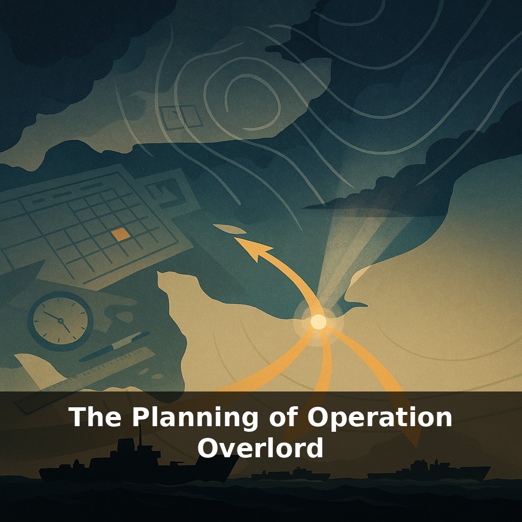
The largest seaborne invasion in history began with a weather forecast that almost everyone got wrong. On a stormy June night, a handful of meteorologists, staring at sparse data, told Allied commanders: “Go now… or lose your chance.” They gambled—and changed the war.
Their decision only makes sense when you zoom out from the weather map to the planning room. Operation Overlord wasn’t just “pick a day and land.” It was the outcome of a year-long effort to solve three brutal problems at once: how to surprise an enemy expecting an invasion, how to land enough force to survive the first 24 hours, and how to keep that force supplied for weeks on a hostile shore.
This meant arguing over everything from where to land to how many socks a soldier would need after hitting the beach. It meant designing floating harbors, inventing special tanks, and choreographing air, sea, and land units that had never fought together at this scale.
Your challenge this week: notice how often big successes in your own world depend on invisible planning you rarely see.
Overlord’s planners faced constraints that would look familiar to anyone who’s tried to launch a complex project across multiple teams and tools that don’t quite fit together. They had to align clashing national doctrines, scarce landing craft, limited airfields, and a coastline the enemy had been fortifying for years. That meant turning Britain into a tightly scheduled staging system: rail lines reserved for specific units, ports assigned time slots down to the minute, training areas booked like overused meeting rooms. Every decision about where one battalion slept or trained rippled through dozens of other plans.
The starting point for Overlord’s planners was deceptively simple: *where* do you actually land? That question turned into months of argument. The obvious spot—the Pas-de-Calais—was closest to Britain, had good ports, and shorter flight times. It also had the heaviest German defenses. Normandy offered longer beaches and a bit of surprise, but worse ports and trickier tides. Choosing Normandy meant accepting a harder logistics problem in exchange for a better chance of getting ashore.
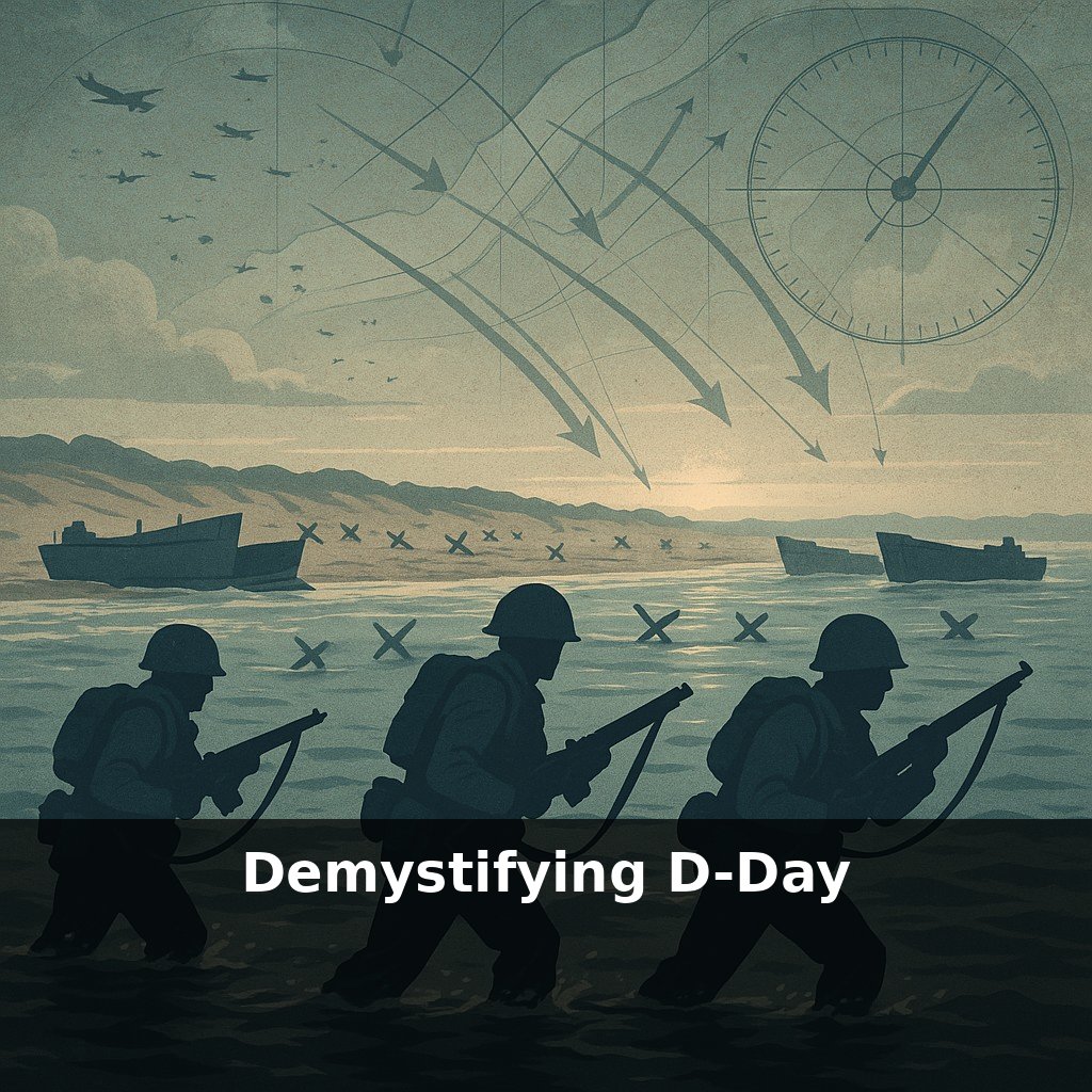
Once the coastline was chosen, planners had to match specific beaches to specific tasks. Some sectors had gentler slopes for tanks but long tidal flats that exposed infantry to fire. Others had good exits for vehicles but were hemmed in by villages and hedgerows. Each beach became a tailored problem: this one needs more engineers, that one needs specialized armor, another needs extra naval firepower to smash concrete defenses.
Then came the question: how do you stop the Germans from concentrating everything against that chosen stretch of coast? This is where the deception plan grew from side project to core pillar. Intelligence officers mapped what German commanders believed about Allied capabilities and systematically fed those beliefs. Fake radio traffic, dummy landing craft, and double agents all pointed not just to Pas-de-Calais, but to the *wrong* timing and sequence of invasions.
Deception only worked because it was welded to real constraints. The Allies genuinely lacked enough landing craft to assault multiple distant coasts at once. They genuinely needed to build up forces in southeast England. The trick was to exaggerate what was already partly true, so German analysts could “confirm” their own expectations.
Air power planning followed the same logic of trade-offs. Bomb too much inland and you risk cratering the very roads you need. Focus only on beaches and you leave rail lines and bridges intact for German reinforcements. The air plan evolved into a campaign against the whole transportation network of northern France, deliberately slowing everything without completely destroying it.
Planners couldn’t just stack checklists; they had to orchestrate dependencies. Airfields in Britain, for example, weren’t simply “available” or “busy”—each had a rotation: bombers out at night, fighters at dawn, transports loading paratroopers in the gaps. Miss one slot and an entire follow‑on wave might slip a tide cycle and arrive when beach exits were jammed with wrecks.
Think of it like designing a complex software deployment pipeline: code (combat units) lived in different repos (countries), used incompatible frameworks (doctrines), and had to ship through a shared CI/CD system (ports, airfields, rail). A patch in one service—say, adding more bombers to hit bridges—could overload the pipeline and delay everything else.
To keep the “pipeline” flowing, staff officers built what we’d now call dashboards: wall‑sized charts tracking divisions, fuel stocks, ammunition, even hospital beds. If one chart went red, it wasn’t just a supply problem; it could force a change in where or when the next brigade hit the shore.
Overlord’s planning mindset may be its most lasting legacy. Modern militaries now run “red teams” and simulations that mirror Allied staff drills, stress‑testing assumptions before reality does. Civil planners copy the same playbook: large festivals, vaccine rollouts, even city‑wide blackout responses are mapped like layered campaigns, where traffic, communications, and medical capacity must sync like gears. The deeper lesson is cultural: plan in detail, but reward teams for spotting flaws early, not for defending their original ideas.
Overlord’s planners show how strategy is less a lightning bolt than a series of disciplined drafts. They prototyped on maps, in sand-table rehearsals, even with live‑fire exercises, then rewrote. Your challenge this week: treat one complex decision like a campaign plan—map phases, constraints, and “what‑ifs,” then revise once before acting.