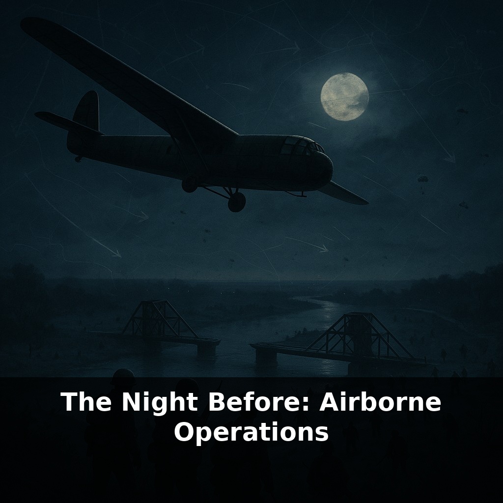
Just after midnight on D‑Day, the first Allied soldiers to hit French soil didn’t come by boat. They crashed out of the dark in fragile wooden gliders, landing beside two quiet bridges that would decide whether thousands of men on the beaches lived or died.
By dawn, the fight in Normandy looked nothing like the carefully drawn arrows on Allied maps. Units were shredded, scattered, and often led by whoever was still standing. Yet that chaos, oddly enough, became a weapon. New leaders emerged on the spot, like substitute captains taking over a match when the star players are injured, improvising attacks to keep German forces off balance.
The night drops weren’t just about bold landings; they were about breaking the enemy’s rhythm before it could even form. Radios failed, landmarks were hidden under fog and flak, and many paratroopers hit the ground miles from where they were meant to be. Instead of retreating or freezing, they treated every unexpected field, village, and hedgerow as an opportunity to disrupt German plans and carve open paths inland.
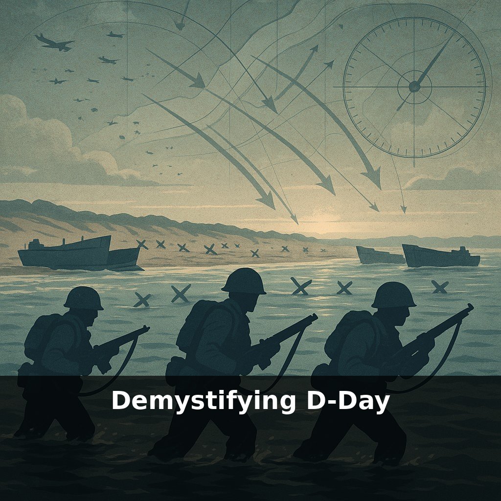
By the time most people on the beaches heard the first shells at dawn, the battle inland was already hours old and strangely uneven. Some fields were eerily quiet; others were lit by burning farmhouses and tracer fire. Scattered groups of paratroopers kept stumbling into unexpected chances: an unmanned roadblock here, a fuel convoy there, a lightly guarded crossroads that suddenly mattered far more than any pre‑war map suggested. Instead of hunting only for their briefed objectives, they began following pressure points—wherever German movement seemed most fragile or most hurried. Those choices, repeated dozens of times in the dark, reshaped the entire invasion morning.
The airborne plan for that night was ambitious in its precision, even if the reality would be anything but. West of the invasion beaches, U.S. airborne divisions were tasked with quietly snapping shut the road and rail network behind Utah and Omaha. Their targets weren’t glamorous: causeways over flooded fields, junctions in tiny villages, batteries hidden in orchards. But these were the only narrow corridors where German armor and trucks could rush toward the shoreline at first light.
East of the landings, British 6th Airborne and the 1st Canadian Parachute Battalion faced a different kind of map. Their job was to secure the left flank of the entire invasion by holding the Orne River and Caen Canal crossings and wrecking key routes where German reinforcements from the east might surge toward the sea. That meant not just taking bridges but also denying the enemy their own shortcuts—blowing culverts, felling trees, cratering roads.
The scale of the air armada supporting all this was unprecedented. In the hours around midnight, more than a thousand transport aircraft droned toward Normandy in long, nervous streams. Behind them, silent gliders were towed like trailers in the sky, loaded with weapons and specialists that couldn’t be risked on a jump: anti‑tank guns, jeeps, engineers with explosives, medical teams with proper stretchers and equipment. If the jumpers were there to break things open, the glider troops were there to make those openings usable and defensible.
This is where the plan’s real gamble lay: timing and density. The airborne forces had to land early enough to shape the battlefield, but not so early that they were crushed in isolation. They also had to arrive thickly enough in certain key zones that, even if scattered, some critical mass would gather near objectives. Think of a coach flooding a penalty area with players in the final minutes; not every run is scripted, but the sheer concentration almost guarantees someone will be in the right place for the crucial touch.
German commanders woke to a map that no longer made sense. Reports poured in of landings far apart, of firefights in hedgerows that didn’t match any expected axis of attack. Headquarters struggled to decide which alarm to answer first—and that hesitation was precisely what the airborne plan had been designed to create.
Some of the most decisive moves that night came from tiny, improvised decisions that never appeared in any formal order. A radio operator choosing to stay put and relay fragments from passing groups could redirect men toward a suddenly vital road. A lone engineer section, finding an unattended culvert, might decide on its own to block it, forcing an entire German column to detour hours out of its way. A medic turning a farmhouse into a makeshift aid post could keep enough rifles in the line at a crossroads to hold it until dawn.
Airborne success also depended on quietly turning civilian landscapes into military tools. Farm carts became barricades; livestock fields were cut for line‑of‑sight; village church towers offered observation points, but also tempting targets for German fire. The best small‑unit leaders learned to “read” these features in seconds, the way a seasoned software architect reads a messy legacy codebase—spotting where a single, well‑placed change can constrain everything that happens next, without ever touching the whole system.
Future airborne planners quietly study that night like engineers studying a stress test. They’re less interested in heroics than in how systems behaved when everything bent at once. Today’s experiments with AI‑guided swarms and robotic resupply are really asking: can we design a network that gets smarter as it fragments? Your challenge this week: map one real‑world system where failure in one part might actually make the whole more resilient.
That night’s scattered units hint at a broader pattern: complex systems often win by bending, not by staying rigid. In your own work, resilience might look less like perfect plans and more like giving people room to adapt under strain—like a jazz band trading solos when the tune shifts, trusting that shared intent matters more than strict choreography.
To go deeper, here are 3 next steps:
1. Grab a copy of "Ridgway's Paratroopers: The American Airborne in World War II" by Clay Blair and read the chapter on pre-jump preparations, comparing what you read to the episode’s description of the tense, chaotic night before D‑Day. 2. Open Google Earth and trace the actual flight paths of the C‑47s into Normandy using historical overlays from The National WWII Museum’s “Digital Collections,” then zoom into the known drop zones (like DZ C, DZ O, etc.) to visualize how scattered landings altered the plan. 3. Watch the Band of Brothers Episode 2: "Day of Days" with a notebook next to you and pause during the jump and assembly scenes to cross‑reference events with Mark Bando’s “101st Airborne: The Screaming Eagles at Normandy” (available in many online previews), paying attention to how real veterans described that “night before” compared to the dramatization.