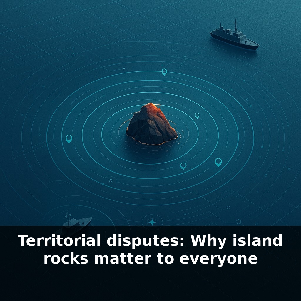
A rock the size of a parking spot can quietly redraw more ocean on the map than an entire European country. A patrol boat circles it. A survey ship waits nearby. And far away in a capital city, cabinet ministers bet their energy security on that lonely scrap of land.
On satellite maps, these “island rocks” almost disappear into the pixel blur. Zoom out one level, though, and you notice something strange: dense clusters of naval bases, airstrips, and radar stations built nearby, as if great powers are orbiting a dot. In legal terms, they are.
Under today’s law of the sea, the question isn’t “How big is this land?” but “Does it stick out of the water at high tide, and can people live or work here?” That dry fingertip of rock can be enough to shift where fishing boats are allowed to cast their nets, where telecom cables are laid, and where future seabed mining operations might launch. When governments argue about these specks, they’re really arguing about who writes the rules for everything that moves, swims, or flows around them.
On the surface, these disputes look local: a fishing boat chased off here, a concrete outpost built there. But each incident plugs into something much larger—global trade routes, energy flows, and food security. About a third of the world’s crude oil and more than half of its LNG sail through one narrow sea choked with overlapping claims. A single tribunal ruling in The Hague can, in theory, shrink a country’s “blue backyard” overnight. Yet without enforcement, the map on paper and the map at sea start to drift apart like slow-moving tectonic plates.
Scroll out from the South China Sea and you see the same pattern repeating: in the East China Sea around the Senkaku/Diaoyu islands, in the Mediterranean around tiny islets between Greece and Turkey, in the Arctic where receding ice is revealing new passages and potential seabed wealth. Each speck becomes a proxy contest over who gets to draw invisible lines that others must respect—or choose to challenge.
UNCLOS turns those lines into a kind of menu of rights. A state that can prove a feature qualifies as an “island” claims control over living resources in the water, non-living resources on and under the seabed, and certain regulatory powers over environmental protection and marine research. Now add continental shelf claims beyond 200 nautical miles, where states submit scientific data arguing that their landmass geologically extends underwater. Suddenly, ocean maps start to look less like open commons and more like a crowded mosaic of overlapping “soft borders” that still provoke very hard reactions.
That’s why countries deploy survey vessels, coast guards, and research stations that look suspiciously like flagposts. Japan’s small outpost on Okinotorishima, the U.K. and Argentina’s long-running dispute over the Falklands’ surrounding waters, or Russia planting a titanium flag on the Arctic seabed all signal the same thing: “this is part of our story.” Legal arguments and seismic data are wrapped in nationalism, domestic politics, and historical memory.
For coastal communities, these abstractions show up as very concrete shocks. When a boundary shifts—or is suddenly enforced—boats may have to travel farther, licenses become invalid, and long-used fishing grounds turn into zones of harassment or arrest. Meanwhile, navies and air forces use disputed zones to test each other’s thresholds with “freedom of navigation” operations, close fly-bys, and cat-and-mouse tracking.
Your challenge this week: whenever you see a news story about a “minor maritime incident” or “uninhabited island dispute,” pause and pull one layer deeper. Ask: whose rules about resources, security, and identity are really being contested around that dot on the map?
A Chinese dredger pumping sand onto a reef in the Spratlys isn’t just “construction abroad”; it’s more like a studio quietly extending the walls of a recording booth so only they control the acoustics in the next album. The same logic shows up far from Asia. In the eastern Mediterranean, tiny Kastellorizo shapes how Greece and Turkey argue over gas exploration blocks. Off West Africa, São Tomé and Príncipe’s location turned it from a small island state into a key partner for joint development zones with Nigeria. Even wealthy countries adjust to this geography: Norway and Russia spent decades haggling over a “grey zone” in the Barents Sea before finally splitting it in 2010, unlocking exploration while trying to avoid naval friction. And in the Arctic, as cruise ships test new summer routes, Canada’s insistence that the Northwest Passage is “internal waters” collides with others’ view that it’s an international strait—turning melting ice into a slow-motion sovereignty test.
As tech races ahead, these dots on the map start to feel less remote and more like contested server space in a shared cloud. New undersea cables, offshore wind farms, and drone corridors will all need permissions tied to whose “box” the project sits in. That nudges firms into quiet lobbying on boundary talks, while coastal states face a choice: harden claims with patrols and outposts, or design flexible sharing schemes that survive shifting shorelines and shifting alliances.
For you and me, the stakes show up less in courtrooms than in prices, politics, and climate choices. A boundary tweak can shift where offshore wind is built, which coastguards answer distress calls, or who sets data rules for seabed cables. As seas rise and tech spreads, today’s “empty” rocks start to look like tomorrow’s crowded city corners.
Before next week, ask yourself: 1) “If I woke up tomorrow as the leader of a small coastal state, which tiny rocks, reefs, or offshore features near my country would suddenly become strategically vital to me—and why: for fisheries, shipping lanes, or undersea resources?” 2) “Looking at a real dispute like the South China Sea or the Senkaku/Diaoyu Islands, which side’s legal argument about Exclusive Economic Zones feels more convincing to me, and what specific UNCLOS rule or principle am I implicitly prioritizing (history, proximity, effective control, etc.)?” 3) “If climate change causes low-lying islands to sink or erode, how do I honestly think maritime boundaries *should* change—should states keep their old EEZs based on vanished rocks, or should the map be redrawn, and who would that help or hurt most?”