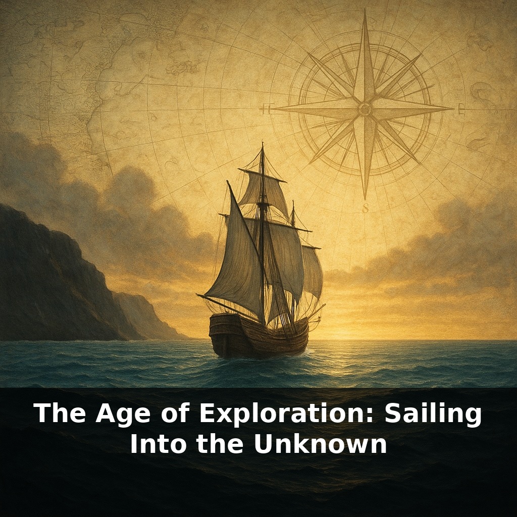
A wooden ship slips beyond the last familiar headland—and every sailor on board knows they may never see home again. Yet across just a few generations, European crews traced coastlines on nearly every continent. How did fear of the unknown turn into a race to reach it first?
By 1400, European maps were full of blanks and wild guesses: sea monsters, phantom islands, coastlines sketched more from rumor than reality. Yet within three centuries, those blanks had shrunk dramatically. What changed wasn’t just courage—it was calculation. Mariners began to treat the ocean less like a mystery and more like a puzzle they could solve with the right tools.
Magnetic compasses, more accurate hourglasses, and improved astrolabes turned waves and stars into a kind of coordinate grid. Princes and merchants, sensing advantage, bankrolled voyages the way investors back risky startups, hoping one successful route would pay for a dozen failures. Ports like Lisbon, Seville, and later Amsterdam became information hubs, where each returning ship updated Europe’s mental “software” of the world—correcting coastlines, refining routes, and quietly redrawing global power.
Beyond the tools and ports, three forces quietly set ships in motion. First was profit: spices, silks, and precious metals could turn a single successful voyage into a fortune, tempting backers to risk ships, crews, and reputations. Second was rivalry: kingdoms like Portugal and Castile treated new routes like exclusive trade apps, racing to “lock in” access with treaties and forts. Third was faith and glory: rulers and sailors alike chased conversions, titles, and legends. Together, these motives pushed captains to test new currents, sketch strange coasts, and gamble their lives on lines no map yet showed.
When Portuguese captains first edged down the coast of West Africa, their toughest problem wasn’t courage—it was the wind. Near the equator, the breezes died or blew stubbornly the wrong way. Sailing straight home often meant not getting home at all. The solution was deeply unintuitive: to return to Europe, they had to sail away from it.
This is where the “volta do mar” came in. Instead of hugging the shoreline, pilots steered their caravels hundreds, even thousands, of kilometers out into the open Atlantic, hunting for steady westerlies that could sling them back toward Lisbon. Early arcs stretched roughly 1500 kilometers offshore—far enough that land vanished and with it the easy landmarks of coastal sailing. One wrong judgment of current or latitude, and a ship might miss Europe entirely. But when it worked, the payoff was enormous: safer, faster passages and a repeatable pattern other captains could copy.
Those patterns slowly stitched together oceans. Columbus’s 36‑day dash from the Canary Islands to the Bahamas showed that the same east‑to‑west winds could be used deliberately, turning the mid‑Atlantic from a rumored void into a kind of conveyor belt. On the way back, he groped northward until he found westerlies to carry him home—an improvised Atlantic “loop” that later pilots refined into routine.
Magellan’s fleet pushed this logic to the limit. Leaving Spain in 1519, his crews threaded South America, then committed to an immense Pacific crossing. By the time Juan Sebastián Elcano brought the last battered ship back in 1522, they had logged about 70,000 kilometers. Only 18 of the original 270 men survived—but they returned with a continuous track. The world was no longer a patchwork of oceans; it was one navigable circuit.
Trade followed these circuits. Cargoes of cloves from the Moluccas could yield profits of up to 6000 percent in Lisbon, underwriting new expeditions. Meanwhile, crops, animals, and microbes rode the same sea lanes. Wheat, horses, and devastating diseases flowed toward the Americas; maize, potatoes, and tomatoes moved toward Europe and beyond, subtly rewiring diets and fueling population growth on multiple continents.
In less than three centuries, what began as risky experiments in reading winds and currents had quietly reorganized the planet—economically, biologically, and mentally. The world felt larger and smaller at the same time: vast in distance, yet newly connected by paths that, once traced, were very hard to erase.
Dutch mapmakers in the 1600s treated each voyage report like a software “update.” A captain might return with a sketch of a new bay, a corrected latitude, or gossip about a rival’s secret harbor. Cartographers in Amsterdam or Antwerp merged these fragments, sold new chart editions, and—quietly—sold an edge to whoever bought them first.
On board, pilots guarded their own tricks. Some kept private rutters—handwritten route books noting landmarks, currents, and sailing directions in dense, cryptic shorthand. Losing one to a foreign port official could mean handing over years of experience. In response, states began classifying sea knowledge. Spain’s “Casa de la Contratación” in Seville, for instance, centralized training, charts, and logs, turning navigation into something closer to a state curriculum than a personal art.
The real revolution was cumulative. No single voyage “discovered” the oceans. Instead, dozens of messy, partial attempts overlapped—like layers in a complex architectural blueprint—until solid, shared routes emerged.
A young sailor in 1600 might have seen only pay and adventure; his voyage also quietly rewired food chains, labor systems, and ideas of who counted as “civilized.” Ocean routes became like undersea cables for more than silver and spices: legal codes, sailing norms, and even concepts of race hardened along those paths. Your challenge this week: whenever you hear about a new “frontier”—AI, polar routes, Mars—ask who writes the rules, and who never got to vote.
Those sea lanes also rerouted everyday life. A loaf of bread in Paris might contain New World maize; a stew in Lima might rely on Old World onions. Tastes blended like colors on a painter’s palette, creating cuisines that felt ancient but were barely a century old. The Age of Exploration didn’t just redraw maps; it quietly rewrote recipes for being human.
Start with this tiny habit: When you open a map app or glance at a globe, whisper to yourself the name of one real Age of Exploration ship (like “São Gabriel” or “Santa María”) and tap the spot on the map where you *think* it might have sailed. If you’re not sure, just guess, then quickly zoom or search to see how close you were. Do this once a day, turning that quick map check into a tiny “voyage” that trains you to think like a 15th‑century navigator.