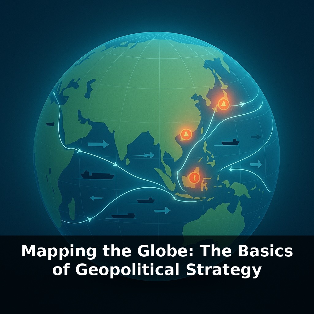
Right now, as you listen, almost all the stuff you own depends on a handful of narrow sea routes most of us can’t even name. One blockade, one distant dispute, and prices at your local store change—long before you ever hear the word “crisis” on the news.
Those distant flashpoints on the map aren’t random; they cluster around very specific features of the planet. Look at any major headline—tension in the South China Sea, friction on the Russian border, pressure over Taiwan, stand-offs in the Himalayas—and you’ll notice a pattern: they sit on top of narrow passages, resource-rich zones, or crossroads where trade, armies, and information all converge.
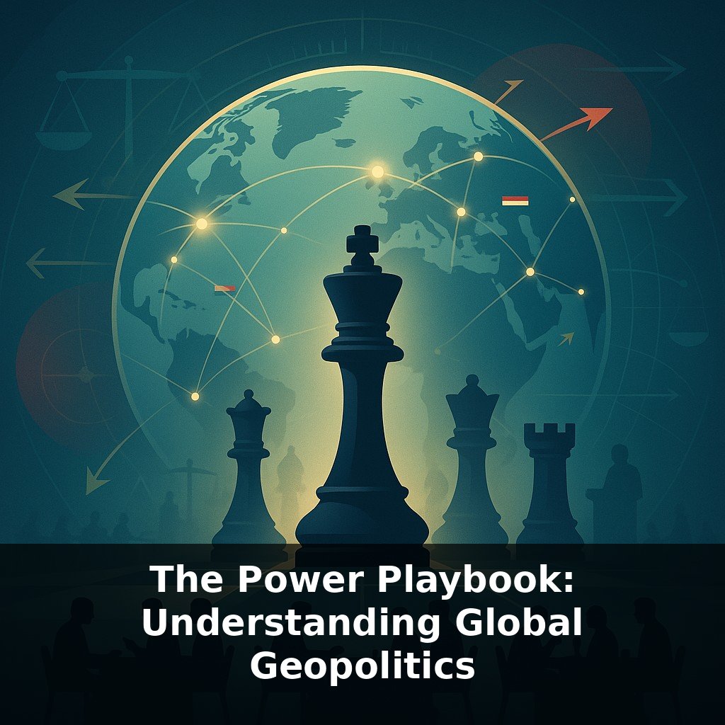
States study this physical layout as carefully as a startup studies its cash flow. They count ports the way investors count revenue streams, and worry about mountain passes the way you might worry about having only one way to log in to all your accounts.
That’s what geopolitical strategy really is: not abstract grand plans, but practical answers to a simple question—given this specific map, how do we stay secure, get richer, and avoid being cornered by others who want the same things?
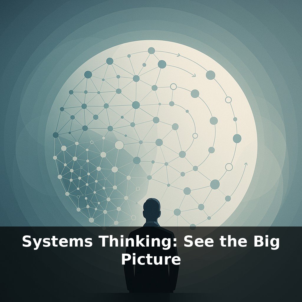
To see how this plays out, zoom out one level from today’s flashpoints and look at the underlying “rules” the map quietly enforces. A country boxed in by mountains thinks about risk very differently from one with open plains on every side. States with warm‑water ports behave differently from those whose harbors freeze half the year. Some are rich in energy but short on food; others have the opposite problem. Leaders don’t start with ideology; they start with constraints: access, neighbors, depth, and routes that can’t easily be bypassed, even in a digital age.
Think of three layers when you look at a political map: position, pathways, and platforms.
**Position** is about where you sit relative to everyone else. Are you in the middle of a crowded neighborhood or on the edge of town? Germany lives in the middle of Europe, touching nine countries. That centrality makes it economically powerful but also historically vulnerable to invasion from multiple directions. By contrast, Australia sits far from most big powers, with ocean on every side. It worries less about armies on its doorstep and more about keeping sea links open and aligning with distant allies.
**Pathways** are the routes that move fuel, food, data, and people. These aren’t only the oceans you’ve already heard about. Think of railways that stitch together Eurasia, pipelines that carry gas into Europe, fiber‑optic cables on the seabed that transmit nearly all international internet traffic. When Russia cut gas flows to Europe, it wasn’t just an energy story; it was a lesson in how dependence on a few key pathways becomes leverage. Whoever can open, close, or reroute these channels gains bargaining power without firing a shot.
**Platforms** are the physical spaces from which a state can project influence: deep‑water ports, high plateaus for radar, islands that extend control over surrounding seas, even orbital slots used by satellites. The United States maintains bases in places like Guam and Diego Garcia not because they are large markets, but because they are springboards that shorten distance to potential crises. More than 400 military satellites act as platforms in space, turning orbits into high ground that watches borders, tracks ships, and guides weapons.
Technology keeps rewriting the value of all three layers. Once‑remote Arctic routes are becoming viable as ice thins, turning frozen wastelands into contested shortcuts. Cheap drones and precision missiles make narrow strips of coastline far more defensible than they were a generation ago. Undersea mining and offshore wind are changing which coastal shelves matter most.
Yet maps are not neutral diagrams of these realities. How a boundary is drawn, what name appears on a sea, which island is colored which shade—these cartographic choices often signal claims and ambitions that go far beyond the ink on the page.
A useful way to see this is through specific countries making deliberate “map moves.” Consider Singapore: a tiny city‑state with no oil and almost no farmland, yet one of the world’s busiest ports and richest economies. Its leaders doubled down on its position at a key shipping junction by investing in ultra‑efficient terminals, legal services, and finance—turning location into leverage.
Ethiopia, by contrast, is landlocked. When Eritrea became independent in the 1990s, Ethiopia lost direct access to the sea. That single change in borders pushed it to rely on Djibouti’s ports, reshaped its road and rail priorities, and influenced which foreign partners it cultivated for infrastructure.
Digital pathways show the same logic. When a few submarine cables near Egypt were damaged, internet speeds in parts of Africa and the Middle East plunged. States responded by quietly funding alternative routes, much as a cautious investor diversifies a portfolio to avoid being trapped by one failing asset.
Rising seas, shifting storm tracks, and melting ice will quietly edit tomorrow’s maps. Some coastal hubs may fade, while new Arctic corridors and dryland farming belts appear. Data routes and satellite grids will matter like rail junctions once did, shaping who can “see” and coordinate fastest. Your challenge this week: pick one country you care about and trace how climate, tech, and demographics could reshape its options by 2050—then check how its leaders talk about the future.
In the end, maps are quiet negotiations between what the Earth allows and what humans attempt. As new tunnels, data hubs, and even lunar projects appear, today’s “edge of the map” becomes tomorrow’s busy intersection. The puzzle for any society is less “Where are we?” and more “Given this layout, which doors are we willing to open—or close—for everyone else?”
Try this experiment: Pick one chokepoint mentioned in the episode—like the Strait of Malacca or the Bosporus—and spend 20 minutes “red teaming” it from three perspectives: a trading nation that relies on it, a rival naval power, and a local coastal state. For each role, decide one concrete move you’d make this week if tensions suddenly spiked there (e.g., rerouting a shipping lane, pre-positioning fuel, or cutting a port deal) and jot down the likely second-order effects. Then compare which moves clash or align across roles and see how that changes your intuition about why that chokepoint matters so much in real-world strategy.