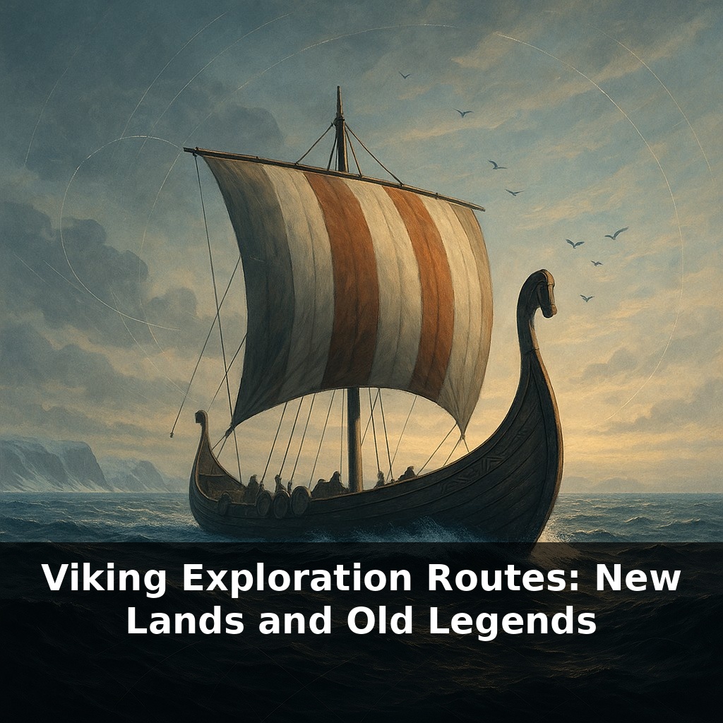
A thousand years before Columbus, a wooden ship cuts across the North Atlantic in near silence—no compass needle, no printed map, just waves, wind, and the flight of seabirds. The paradox: these so‑called barbarians were running one of history’s most advanced navigation networks.
Those North Atlantic crossings weren’t one-off stunts—they were part of a long-term strategy. Between roughly 750 and 1100 CE, Norse crews stitched together routes that linked snowbound fjords to river cities, farms, and distant courts. Step by step, they turned seasonal raids into permanent footholds: winter camps became towns, trading posts became power bases.
Follow the wakes of their ships and you’re tracing a network that runs from coastal Norway out to Iceland, then Greenland, and finally a short-lived outpost in what sagas remembered as Vinland. Turn east and the same restless impulse carried them along the Russian rivers to the Black Sea and Constantinople, where some swapped raiding for elite guard duty in the service of the Byzantine emperor.
Our puzzle now is to map how these paths formed—and why some thrived while others vanished.
To understand why some Viking routes hardened into lifelines and others faded, we have to zoom in on three things: what was being moved, who controlled the key chokepoints, and how stories shaped risk-taking. Silver from the Islamic world, furs from the north, slaves from captured populations, and prestige goods like silk and wine didn’t just enrich chiefs—they justified pushing into harsher seas and stranger courts. Think of each harbor, river bend, or sheltered bay as a “save point” in a difficult game: once secured, it made the next bold jump slightly less insane.
Think of the Viking world not as wild, empty ocean, but as a chain of “stepping-stone zones,” each with its own rules and rewards. Start in the sheltered Scandinavian inlets: here, power was local and personal. A chieftain who could promise new land or silver could suddenly turn a handful of farms into a launchpad for overseas ventures. That’s why voyages west toward Iceland and Greenland often began as solutions to crowded politics at home as much as quests for wealth abroad.
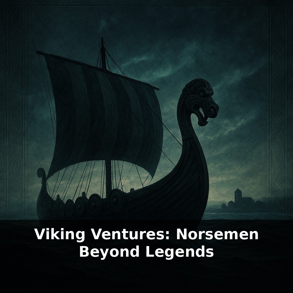
Push outward and the stakes changed. The sea-lanes toward the British Isles and the Frankish coasts were crowded with rivals—Franks, Anglo-Saxons, later Normans—all taxing, resisting, or hiring Norse crews. Hit the wrong monastery, and you might spark a kingdom’s retaliation; strike the right bargain, and you could be granted land, like the future Duchy of Normandy. Ports such as Dublin grew from fortified river-mouth camps into hybrid towns where Norse, Gaelic, and English customs overlapped, and where slaves, wool, and silver moved in bulk.
Further west, the stepping-stones grew sparse and harsh. Iceland and Greenland offered land and status but demanded tight social discipline: miss a harvest, misjudge sea ice, or feud too fiercely and the whole community paid the price. Archaeology suggests those Greenland farms were finely tuned to a narrow ecological window; once climate cooled and trade thinned, even stubborn persistence couldn’t keep them going.
Eastward, different logics applied. Forest zones supplied furs and wax; steppe edges funneled slaves and silver. Here, Norse leaders reinvented themselves as princes in towns like Novgorod and Kyiv, riding river tolls and long-distance commerce. From there, a few ambitious warriors went all the way to Constantinople, where service in the Varangian Guard converted battlefield skill into Byzantine gold and prestige.
Across all these zones, stories were the glue. Sagas and oral tales didn’t just remember daring crossings—they advertised opportunity, warned about treachery, and elevated certain harbors or courts into almost mythical destinations worth the risk.
In this web of routes, each decision point felt less like blind wandering and more like choosing a new branch in a strategy game’s tech tree. A crew that had proven itself on one crossing could “unlock” a different kind of voyage next season: maybe shifting from coastal raiding to hauling high-value cargo for a foreign ruler, or from mercenary work to escorting pilgrims and diplomats. One ship taking this risk was a gamble; ten ships doing it in sequence turned into a recognizable corridor. Archaeology picks up these shifts in subtle ways: a farm that suddenly shows fragments of imported glass, or a burial with scales and weights instead of extra weapons, hints that its owner had pivoted from fighting to calculating profit. Written sources outside Scandinavia fill in further edges: Arab geographers describing northern traders at distant markets, Byzantine accounts of tall, axe-bearing guards, Irish annals noting when certain foreign fleets switched from burning towns to negotiating tribute. Together, they show route-building as a series of experiments, not a single master plan.
Climate data, DNA studies, and seabed surveys will likely reveal forgotten shore stops and mixed communities, not just heroic endpoints. Instead of a single “discovery” moment, we may find layers of contact—seasonal crews, marriages, stranded sailors—like faint pencil sketches beneath a finished drawing. That forces us to treat medieval mobility less as exception and more as baseline, reshaping debates about identity, migration, and who “belongs” in northern oceans today.
As new digs and DNA work redraw coastlines of contact, the old saga map starts to look more like a subway diagram still under construction—new lines, hidden junctions, unexpected termini. Your challenge this week: trace one modern sea route on a map and ask where its forgotten “Viking layer” might lie just beneath the surface.