A tiny glass lens, a steel hammer, and a beat‑up notebook have kick‑started more discoveries than million‑dollar lab machines. In this episode, we’ll drop straight into the field and ask: with just a few tools in your hands, how far into Earth’s story can you really go?
Out on a rocky hillside or at a roadcut, your tools quietly decide what kind of geologist you get to be. With just your basic kit, you’re not only collecting “cool rocks”—you’re capturing tiny lab samples, structural clues, and time-stamped evidence that could stand up in a real scientific report. Modern fieldwork adds a twist: the classic tools now sit alongside phone apps, GPS, and digital photos. Used well, that combo lets you jump from a fresh break in your hand to satellite context in seconds. But there’s a catch. Tech can zoom out, yet it can’t feel the weight of a hammer blow, smell a sulfurous fracture, or force you to slow down and really look. In this episode, we’ll explore how to choose and use each tool so your next trip doesn’t just fill shelves—it builds real understanding.
Out there, every outcrop is a crowded bookshelf, and your kit is how you pull one volume down and open it. Before we dive into specific tools, it helps to know what kinds of “stories” you’re trying to read. Some days you’re hunting sharp, glassy crystals; others you’re tracing faint stripes that mark ancient shorelines or buried magma chambers. Safety matters too: loose blocks overhead, metal shards from a hard swing, or surprise splashes from testing fluids can turn a quick stop into a bad day. So the real question isn’t just what to pack, but how each item lets you see more while staying smart and in control.
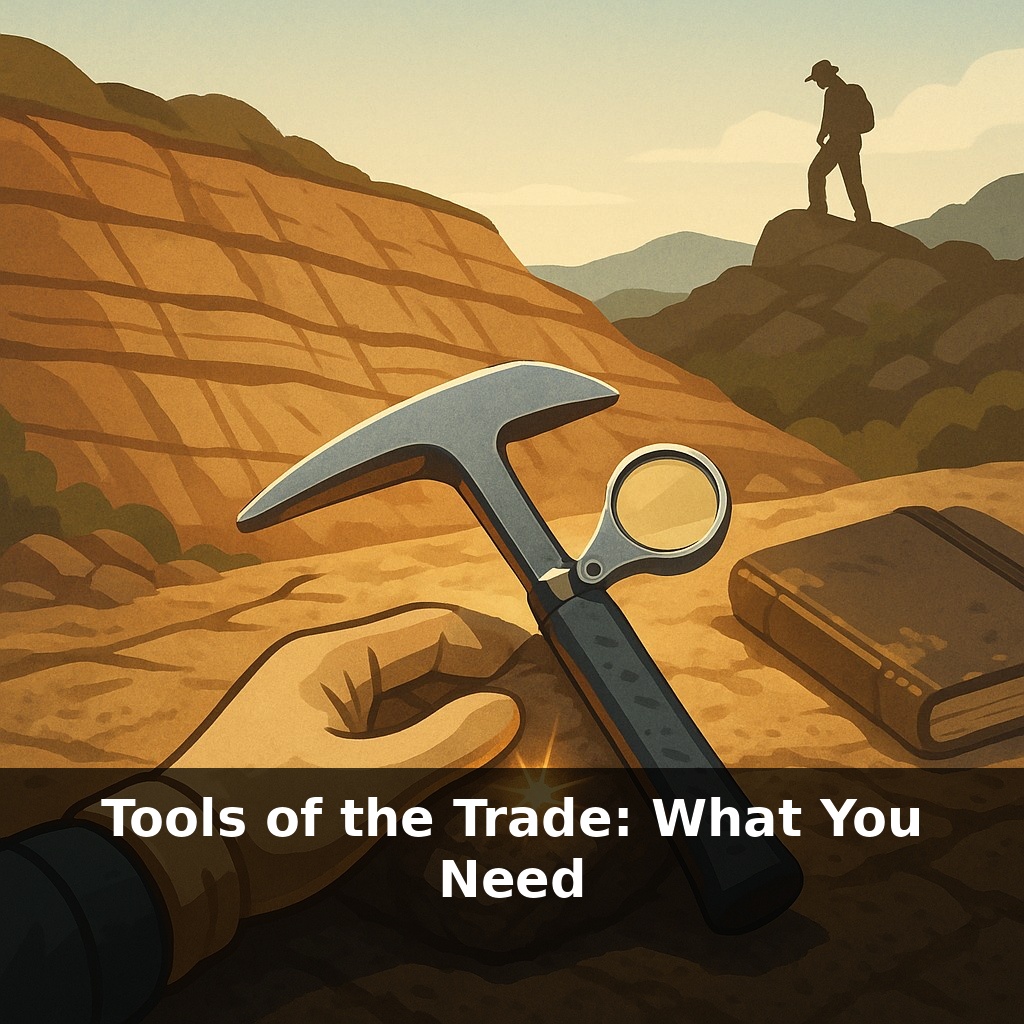
Start with the one tool people misuse most: the hammer. In the field, it isn’t for smashing everything in sight; it’s for controlled surgery. A good rock hammer has a hardened, flat face for striking and a chisel or pick end for prying. Swinging it well is about precision: one clean blow along a natural crack can reveal structures and colors hidden for millions of years, while random battering just litters an outcrop with broken clues. Professionals match hammer type to the job—pointed ends for tough, massive rock; chisel ends for layered material where you want sheets, not splinters.
Next is the hand lens. Standard practice is 10× magnification: strong enough to resolve crystal shapes and tiny inclusions, but wide enough that you’re not peering through a keyhole. Higher powers (20–30×) exist, but they shrink your field of view and amplify every hand tremor. That’s why most field geologists reserve them for very fine textures and rely on a 10× “triplet” lens the rest of the time. Under that small circle of glass, relief, luster, and fracture patterns become as diagnostic as color.
Then there’s the notebook, which quietly turns “finds” into data. Weather-proof paper means an unexpected shower, a stream crossing, or sweaty hands won’t erase your observations. The key isn’t fancy layout; it’s consistency. Many people divide each page into three quick columns: sketch, description, and context (where, when, how collected). A rough map, a note about overlying layers, or a measured orientation of a vein can later explain why a sample is special, long after you’ve forgotten the day’s details.
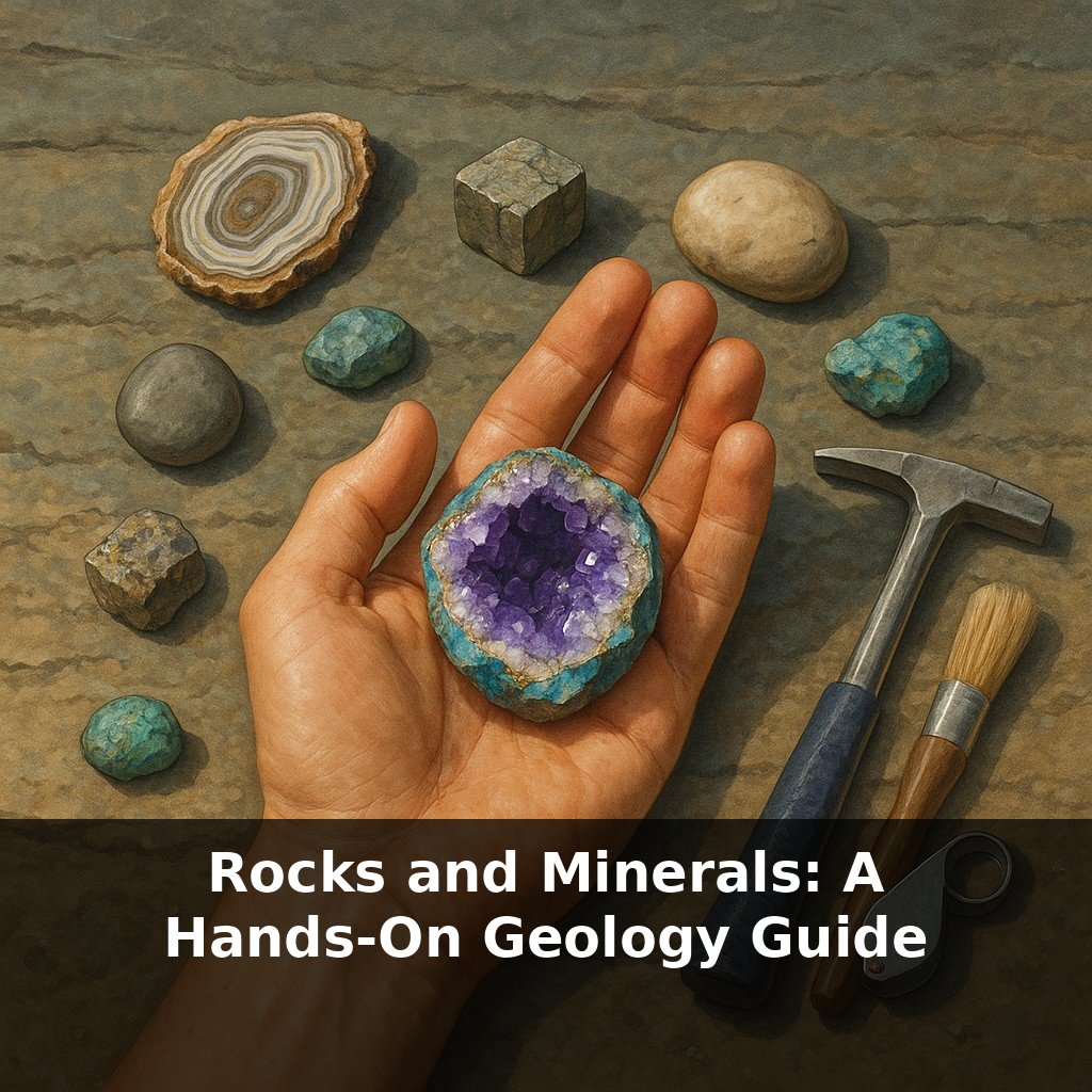
Around these core pieces sits a small, high‑impact kit: chisel for controlled splitting without blunting your hammer, gloves to protect from sharp edges, eye protection against flying fragments, and, for carbonate checks, a tiny dropper bottle with weak acid. Each item answers a specific question: “Can I open this safely?” “Is this calcite or something else?” A GPS-enabled device, used sparingly, anchors your notes in space so a future you—or someone reading your work—can walk straight back to that exact contact or crystal pocket.
Think of your basic kit as a modular system you tune for each mission, the way a photographer swaps lenses instead of buying a new camera. Chasing delicate crystals in a quarry? You might add a thin, flexible putty knife to ease specimens out without crushing edges, plus small sample boxes so faces don’t grind against each other in your pack. Working a coastal cliff with slippery ledges? A compact tape measure and a clinometer app let you treat the cliff like a vertical blueprint, logging thicknesses and layer angles before a single chip comes home.
Industrial teams do the same, just scaled up: they’ll pair field kits with portable XRF scanners or drones, but still rely on close-up inspection to decide exactly where to point the expensive instruments. Even solo hobbyists can borrow that mindset. Before you leave the car, ask: “Am I here to map layers, hunt fossils, or test minerals?” Then deliberately swap in two or three small extras that serve that goal—flagging tape for tracing a vein, sample bags pre‑labeled by location, or a wax pencil for marking oriented pieces.
Citizen collectors are quietly steering the next wave of earth science. As online databases grow, a single well‑documented specimen can plug into global maps of resources, hazards, even past climates. Augmented overlays may soon guide you toward key fractures or fossils, while tiny environmental sensors track how hard you hit, how much you take, and what you leave. Your kit becomes less a toolbox and more a lab bench on your back, where every swing and scribble can feed a much larger experiment.
Each time you head out, you’re tuning a tiny observatory aimed straight at the ground. Swap tools the way a coder swaps libraries: deliberately, for the problem in front of you. Your challenge this week: plan one short trip around a single question—“Where did this layer come from?”—and choose every item in your bag only if it helps you chase that answer.