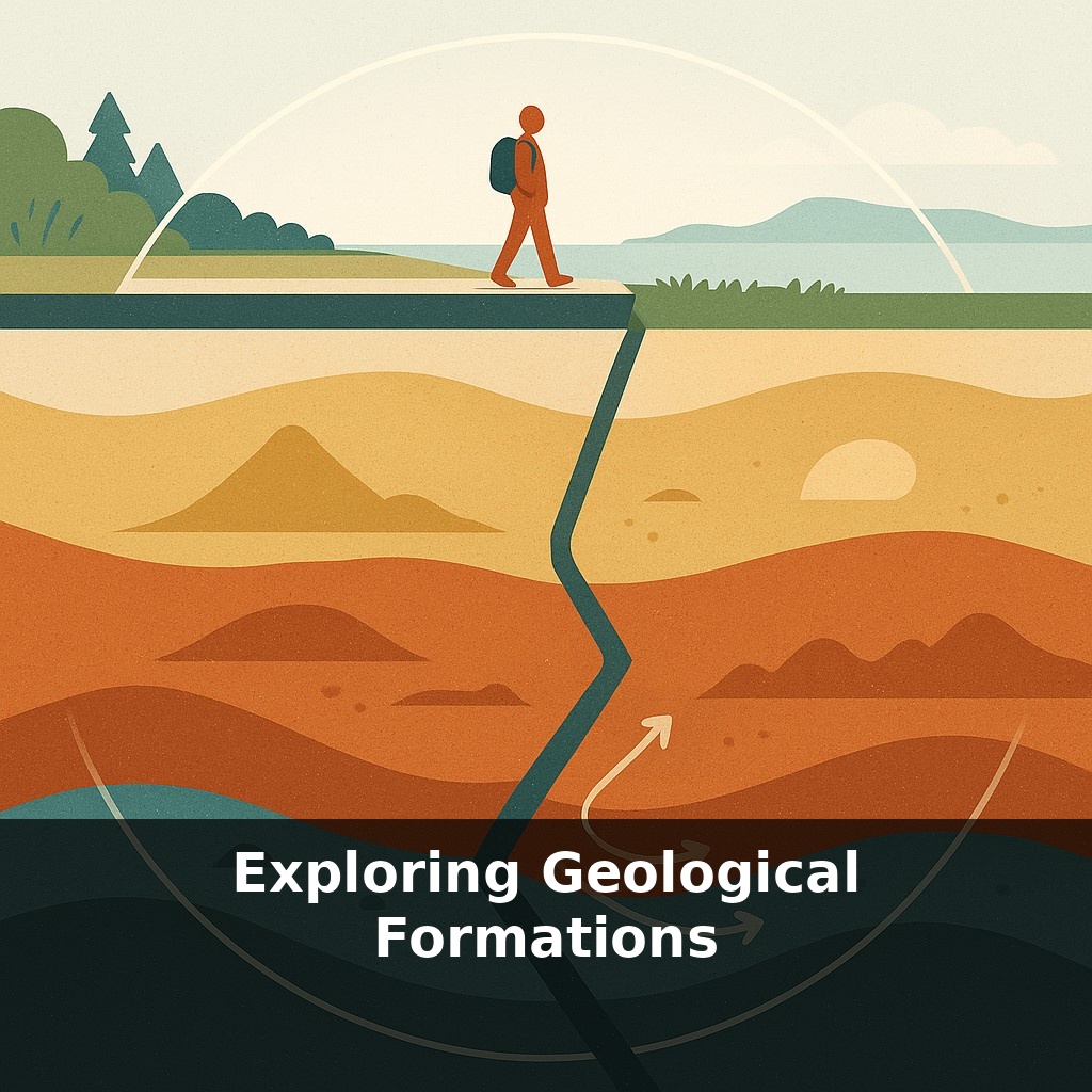
Rocks move. Not quickly, not where you can see it, but whole continents are drifting about as fast as your fingernails grow. As you stand on a sidewalk or a forest trail, you’re quietly surfing a tectonic plate, riding over scars of volcanoes, vanished oceans, and ancient mountains.
Walk past a road cut, a cliff by a river, or the walls of a quarry and you’re looking straight into deep time. Those bands of different colors and textures aren’t just “layers of rock”; they’re snapshots of vanished beaches, floodplains, deserts, and seafloors, stacked on top of each other. Some layers are full of shells from ancient seas, others are packed with volcanic ash from distant eruptions, and some have ripples or mud cracks that froze in place as conditions changed. Geologists learn to “sample” these clues the way a coder samples log files—pattern by pattern—to reconstruct what happened and in what order. In this episode, we’ll explore how to read those patterns in real formations: why some cliffs are sheer while others form steps, how rivers carve canyons like the Grand Canyon, and what common features you can start spotting on your next walk.
Stand beside a cliff and you’re not just seeing layers stacked up—you’re seeing a record of forces that bent, broke, buried, and stripped them back again. Some surfaces are jagged where glaciers scraped past; others are smooth where rivers have patiently polished the rock. In many places, older layers have been tilted on edge or sliced by younger intrusions of molten rock that hardened in place. Erosion then carves all this into mesas, arches, and canyons. Our goal now is to link what you see—shapes, angles, gaps—to the hidden processes that built and edited that rocky archive.
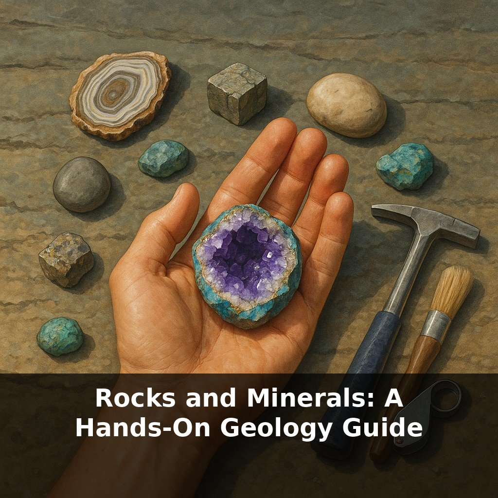
Stand close to a rock face and start zooming in—first with your eyes, then (if you have one) with a hand lens. Three big questions turn that random wall of stone into a readable formation: What is this rock made of? How are the layers arranged? What’s been done to them since they formed?
Composition first. A sandy, gritty feel with visible grains that fall out if you scrape it? You’re probably looking at sandstone. Smooth, fine, and likely to leave dust on your fingers points to shale or mudstone. Blocky, gray, and full of broken shell fragments suggests limestone. Each tells you about the energy of the environment that laid it down: strong currents can move sand, gentler waters allow mud to settle, and clear, warm seas let organisms build shells that later become limestone. Add pebbles or boulders embedded in finer material and you’ve met a conglomerate, evidence of fast, powerful flows that could roll stones along a riverbed or shoreline.
Now step back and check the geometry. Do you see thin, flat layers, or do they thicken, pinch out, or form gentle “smiles” and “frowns”? Cross‑beds—sets of sloping internal layers cut off at the top—often record migrating dunes in rivers or deserts. If successive packages of layers are cut by an irregular surface and newer layers drape over that surface, you’re probably looking at an unconformity: a gap in the record where older rock was eroded before new sediment arrived. Multiple unconformities stacked in a cliff mean repeated cycles of building up and stripping away.
Look for interruptions in the pattern. A dark, fine‑grained sheet slicing across lighter rocks may be a cooled igneous intrusion. A band of chaotic, jumbled fragments frozen in a finer matrix can mark an ancient landslide or debris flow. Rusty streaks or nodules trace how groundwater once moved through the rock, leaving iron behind. Vertical fractures—joints—often appear as parallel sets; water exploits them, so you get rectangular blocks breaking off, or entire cliff faces aligned along these planes.
One helpful way to think of a big formation is like a layered software system: the visible “UI” is the cliff shape, but the real logic lives in the underlying architecture—grain size, internal structures, breaks, and gaps. Learn to read those, and every road cut turns into a structured story instead of a gray wall.
Run your hand along a cliff that alternates hard ledges and softer, crumbly bands and you’re touching a kind of natural “city skyline” in stone: tough layers stand out like high‑rises, weak ones recede like alleys. Those contrasts control which slopes collapse in rockfalls, where trails zigzag, and even where roads must be reinforced. In the Grand Canyon, resistant limestones and sandstones form broad steps and sheer walls, while softer shales erode into gentler, debris‑covered slopes between them. Basalt columns, like those at Giant’s Causeway, crack into polygonal pillars as the lava contracts, then waves and weather trim them into striking geometric patterns that steer tidepools and coastal inlets. In mountain belts, once‑flat strata can be folded into vast arcs; valleys commonly follow the weaker rocks in the folds, while ridges trace the tougher ones. These patterns matter for more than scenery: engineers, hydrologists, and hazard planners all read them to site dams, tunnels, reservoirs, and safe building zones.
Your street, your favorite hiking trail, even the lot where a new store appears are all resting on formations that quietly set the rules. They steer groundwater like hidden plumbing, guide faults that may wake in future quakes, and dictate where wind farms, tunnels, and geothermal wells make sense. As 3‑D imaging and rover missions sharpen our view, formations become less like static scenery and more like an evolving blueprint we can read—and, carefully, design around.
Your challenge this week: Find one rock wall, cut bank, or construction excavation you can safely approach. Spend five minutes treating it as a miniature field site: note at least three distinct features—layer thickness changes, color bands, fractures, cemented pebbles, or shell fragments. Then, sketch a simple side‑view diagram and jot one hypothesis about how each feature might affect real‑world decisions: building foundations, drainage, trail routes, or habitat patches nearby.
Each outcrop you meet is still “under construction”: minerals keep reacting, water keeps prying, roots keep wedging. Today’s cliff is tomorrow’s soil, and that soil will host forests, farms, or cities. Like reading street signs in a foreign town, the more symbols you recognize in the rock, the more confidently you can navigate where to walk, build, or simply pause and look closer.
To go deeper, here are 3 next steps: Explore real outcrops near you using the macrostrat.org interactive map or the Rockd app—pick a nearby roadcut or park it highlights, then visit and match what you see to the formations named there. Watch the free “Geology Kitchen” series on YouTube alongside a USGS geologic time scale chart and pause to connect each episode’s rocks (like sandstone, shale, limestone) to the era and environment they formed in. Grab a beginner-friendly field guide like “Roadside Geology of [Your State]” and plan a short weekend drive to 2–3 specific stops it lists, using your phone’s compass and a hand lens (or macro phone lens) to observe bedding, fossils, or mineral grains just like the geologists described in the episode.