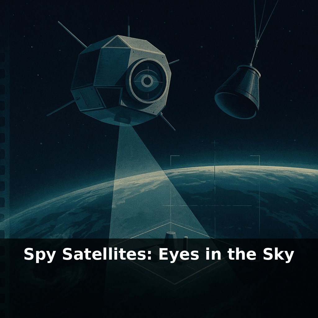
A secret photo, dropped from space and caught mid-air over the Pacific, once changed how superpowers spied on each other. In this episode, we’ll step into that moment and ask: what happens when the most guarded borders on Earth can no longer hide anything at all?
That mid-air film catch was just the beginning. Within a few years, the U.S. was quietly building machines that could read the layout of an enemy missile base from hundreds of miles up, long before most people even believed detailed photography from space was possible. On the Soviet side, planners had to accept a new, unnerving reality: key decisions might be based on photos they would never see, taken by cameras they couldn’t reach or shoot down.
As the technology evolved, those metal canisters of film gave way to digital eyes that could beam images back in near real-time. What started as a closely guarded Cold War tool slowly leaked into the civilian world—first as fuzzy weather maps on TV, and eventually as the crisp satellite views we now casually swipe through on our phones.
But those first space cameras were clumsy, secret prototypes compared with what followed. Early missions like CORONA fought gravity, film limits, and basic questions: how do you focus a camera that has to work perfectly after being shaken by launch and frozen in orbit? Engineers learned to design lenses that wouldn’t warp with temperature swings, and stabilization systems that kept the “view” steady while the satellite raced overhead. Bit by bit, resolution sharpened, coverage expanded, and the sky filled with overlapping orbits—each pass a fresh chance to catch history in progress.
Spy satellites didn’t just appear fully formed; each generation solved one problem and exposed three more. CORONA’s successors quickly moved from “Can we get anything back?” to “How sharp, how fast, how often?” That led to a quiet race not just in rockets, but in optics, film chemistry, and orbital choreography.
By the late 1960s, the U.S. was flying the KH‑9 “HEXAGON,” a school‑bus‑sized craft stuffed with panoramic cameras. Instead of peeking at one base, it could sweep entire swaths of territory in a single pass, mapping roads, rail lines, and construction patterns. Analysts didn’t just count missile silos; they watched for new rail spurs, fresh concrete, or changes in snowmelt that hinted at hidden activity. Coverage—being able to revisit the same place again and again—mattered as much as raw detail.
Orbit choice became a strategic decision. Put a satellite in a “sun‑synchronous” path and it passes the same spot at roughly the same local time each day, lighting conditions nearly identical. That consistency lets you stack images like transparent sheets and highlight what’s changed: a new radar dish here, an expanded airstrip there. But it also means your enemy can predict when you’re overhead and plan around it—rolling out mobile missiles only after you’ve flown by.
The move from film to digital systems like the KH‑11 wasn’t just about convenience. It transformed how quickly pictures could shape policy. Instead of waiting days for a film capsule to be recovered, scanned, and interpreted, decision‑makers could react within hours. During arms‑control talks, that speed helped verify whether the other side was actually dismantling launchers or merely shuffling hardware.
Today, commercial constellations push the idea further. Companies like Planet don’t rely on a few exquisite satellites; they use hundreds of small ones, trading ultimate resolution for constant refresh. Militaries can buy that data off the shelf—or worry that their own activities are being documented for the world to see. In effect, what used to be a monopoly of superpowers has diffused into a global, semi‑public sensor network.
Your challenge this week: whenever you see a satellite image in the news—of a battlefield, a missile test, or a secretive facility—ask three questions: Who owns the satellite? How often can it revisit that spot? And what might be hiding in the gaps between those passes?
Think of today’s orbital espionage more like watching the weather than snapping a single perfect photo: what matters is the evolving pattern, not any one cloud. A nation planning a missile test knows roughly when it will be watched, so it might build decoys, shift equipment at night, or use hangars and tunnels as “umbrellas” against prying eyes. That’s why analysts don’t just stare at the obvious targets; they scan parking lots, fuel depots, even ship wake patterns to infer what’s happening out of sight.
Commercial images add another twist. When independent researchers used Planet data to track mass graves, or naval movements near disputed islands, governments couldn’t simply deny what was visible to anyone with a subscription. Yet even with hundreds of satellites, there are blind spots: heavy cloud belts, polar winters, and brief “dark” windows between revisits. Each empty patch in the record becomes a clue in itself—why did construction pause only when the sky was overcast, and resume as soon as it cleared?
Spy satellites are quietly becoming traffic cops and environmental auditors. Constellations that once traced missile fields are now tracing supply chains, crop failures, and refugee flows, turning trade routes into something like pulsing weather systems on a radar screen. In crises, this could expose covert troop buildups or blocked grain shipments within hours, empowering journalists, watchdogs, even rival states to call out deception before official stories solidify.
As more nations and companies launch their own “eyes,” secrecy starts to look less like a wall and more like a thin curtain. Forest clear-cuts, vanished villages, unmarked prison camps—patterns once buried in paperwork now leave scars in the landscape that orbiting sensors can trace, like footprints in fresh snow that linger long after the walker has gone.
Try this experiment: Open up a satellite imagery tool like Google Earth Pro or NASA Worldview and pick one specific location you care about (your city, a nearby military base, a major port, or a border crossing). Grab the oldest available image and the most recent one, then zoom in and compare them like an analyst: count new buildings, spot changed roads, added runways, new ships, or different crop patterns. Make a quick “intel note” for yourself by describing what might have happened there (e.g., urban growth, expanded infrastructure, possible military buildup) and then sanity-check your hunches by googling news about that place from the same time period.