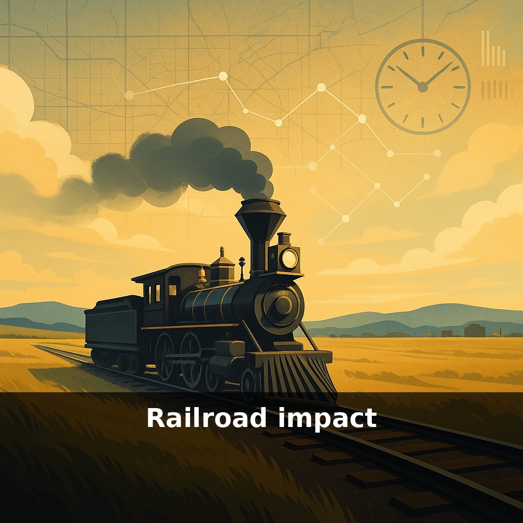
A single train crossing the prairie in 1850 cut a week-long wagon trip down to a single day. In that sudden silence after the train passes, there’s a hidden story: how steel rails quietly rearranged where people lived, what they paid for food, and even how they told time.
By the late 1800s, those tracks weren’t just moving people and wheat; they were quietly redrawing the country’s economic map. Think of a grocery receipt: every line item hides a story about where something came from and how far it traveled. Railroads began rewriting those stories. Suddenly, a farmer in Iowa competed with one in New York, and a factory in Ohio could undercut a workshop in Boston. Entire towns lived or died based on whether a siding appeared on a surveyor’s map. Corporate offices ballooned to manage far-flung operations, early blueprints for today’s giants. Even arguments in Congress shifted, as politicians from “railroad towns” started fighting for freight rates the way others fought for tariffs or canals. To understand modern America’s regional gaps and connections, you have to follow the old timetables hiding beneath today’s highways.
The hidden twist is how much of this transformation came from policy as much as from tracks. Congress didn’t just watch the network grow; it bribed it into existence with land—an area larger than many countries. That giveaway turned survey lines into destiny: one route could bless a future metropolis, while a bypass left others to wither. Meanwhile, bankers and speculators treated those routes like a high-stakes board game, trading bonds and shares whose value rose and fell with every mile completed, every bridge finished, every town added to the timetable.
Stand on a platform in 1880 and you’d see more than passengers and freight cars; you’d be looking at a moving factory system. Every scheduled train required layers of invisible coordination: dispatchers juggling meets on single-track lines, telegraphers relaying constant updates, clerks tracking thousands of carloads by hand. To keep this machine from colliding with itself, companies invented rulebooks, hierarchies, and specialized departments that looked startlingly like the “org charts” pinned in modern office conference rooms.
That organizational experiment scaled up fast. Rail companies stitched together dozens of short lines into vast systems stretching from coastlines to interior plains. Each merger meant standardizing not just track hardware but paperwork, accounting, and safety rules. Early managers discovered that if Pittsburgh and Omaha didn’t record costs the same way, nobody actually knew whether a route made money. Out of that frustration came uniform accounting practices and performance reports—the same kind of monthly numbers executives still obsess over.
The physical network also reshaped which places did what kinds of work. Peripheral ports and river towns found themselves leapfrogged by inland junctions where lines crossed. Meatpacking, grain processing, and warehousing flocked to these crossroads because they could draw supplies from huge territories and ship finished goods in every direction. Chicago’s rise was only the loudest example; smaller hubs from Kansas City to Atlanta followed similar arcs, turning once-quiet stops into industrial clusters dense enough to support banks, newspapers, and technical schools.
Behind the scenes, railroads changed labor itself. They needed skilled machinists to maintain locomotives, civil engineers to design bridges, and an army of clerks to process waybills. They also leaned on some of the era’s most marginalized workers for the hardest physical jobs: Chinese crews blasting through the Sierra Nevada, Black laborers laying track and working in roundhouses, immigrant section gangs keeping ballast and ties in line. Their work made the system possible, even when company records reduced them to anonymous headcounts.
Your challenge this week: whenever you see a logistics depot, a corporate HQ, or even a busy transfer station in your city, trace in your mind how it depends on some earlier decision about where lines, roads, or ports converged—and ask whose labor made that node real.
Stand in a small Midwestern town circa 1875, and the “rail decision” shows up in the oddest places. A merchant who once stocked local flour now fills his shelves with brands from three states away; his ledger suddenly tracks distant millers he’s never met. A newspaper that once arrived days late now lands with presidential speeches and commodity prices current enough to move local bets on next year’s crops. Those changes filtered into everyday habits: cooks trying unfamiliar canned goods, carpenters ordering standardized nails instead of relying on a local forge, readers arguing about events they’d just read in a fresh dispatch.
One way to picture it: the country’s “background music” changed key. Before, each region hummed along to its own slow rhythm of seasons and river levels. After, timetables and rate sheets overlaid a shared beat that shopkeepers, editors, and artisans all had to follow—or risk falling out of sync with customers who now had more choices, faster news, and a wider sense of what “normal prices” looked like.
High‑speed projects and revived freight lines hint that the next rail revolution might be quieter but just as disruptive. Picture a commute where cities two hours apart feel like neighboring subway stops, or freight corridors that act like moving warehouses, syncing with ports and factories by software instead of paper forms. As corridors are rebuilt or converted to trails, each route choice is a bet on which towns will hum louder on tomorrow’s economic “soundboard” and which will fade to the background.
The deeper twist is that many routes we treat as “natural” today—interstates, trucking lanes, even airline hubs—still trace those 19th‑century decisions. Like roots beneath a sidewalk, old rights‑of‑way quietly steer where warehouses cluster, where rents rise, and which accents you hear at the corner store, reminding us that yesterday’s shortcuts became today’s borders.
Before next week, ask yourself: 1) “If a new rail line were planned through my own community’s ‘backyard’—past our homes, schools, or parks—what trade‑offs (jobs, noise, safety, property values, displacement) would I personally be willing to accept, and where would I draw a hard line?” 2) “Looking at a real rail corridor near me on a map, who benefits most from its existence today (commuters, freight, developers) and who quietly pays the cost (neighbors dealing with vibrations, blocked crossings, or pollution)?” 3) “If I had to argue *both for and against* adding more freight or passenger capacity on one specific existing line near me, what concrete data or lived experiences—crash history, traffic delays at crossings, local business reliance—would I need to feel like my position is fair to everyone affected?”